Peak 5961 by Margo Mandella

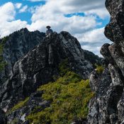
Peak 5961 (left). Steve Mandella photo.

This peak is not in the book. Published January 2020. St. Anthony Sand Dunes is a unique geological feature in southeast Idaho with five ranked peaks. Peak 5961 is located southwest of the North Junipers Hills, which includes the North Junipers HP. As described by the Bureau of Land Management (BLM): The St. Anthony Sand Dunes consists of 10,600 acres … Continue reading

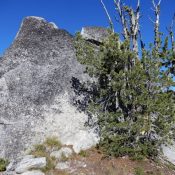
Cup Benchmark by Livingston Douglas

Cup Benchmark viewed from the south. Brett Sergenian Photo

This peak is not in the book. Revised and updated November 2023 This peak is located due north of Buttercup Mountain in the southern Smoky Mountains. USGS Buttercup Mountain Access Same as for Peak 8634. This is the second leg of a 2-peak adventure that includes Peak 8634 and Cup Benchmark (9,147 feet). It covers 10.0 miles with 3,500 feet … Continue reading

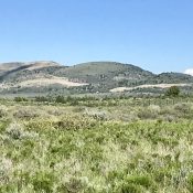
Peak 6660 by Brett Sergenian

This peak is not in the book. Published December 2019 Peak 6660 is located southeast of Succor Creek Reservoir and east of US-95. The peak has an impressive west face. USGS Swisher Mountain Access The road from Mile Point 1 on US-95 is posted private property but you can get to the south end of Succor Creek Reservoir from the … Continue reading

Peak 10941

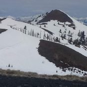
Peak 10941. John Platt Photo

This peak is not in the book. Published December 2019 Peak 10941 is located north of Cerro Ciento on the main Boulder Mountains Crest. USGS Easley Hot Springs Access Spring Creek Road [(A)(5) on Page 240] West Ridge, Class 2 Drive as high as you dare on Spring Creek Road. Climb out of the drainage to the West Ridge. Follow … Continue reading