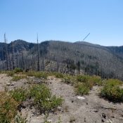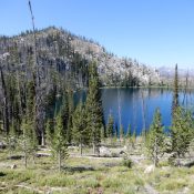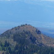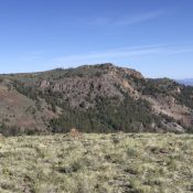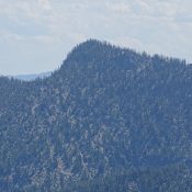
This peak is not in the book. Published August 2020 Mount Heinous is located at the east end of a rugged ridgeline that starts at on the main Lick Creek crest and runs northeast over Fitsum Peak (i.e., The Spear) and Mount Horrendous to end on Mount Heinous. Its a long, torturous hike from any direction to reach this peak. … Continue reading