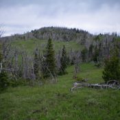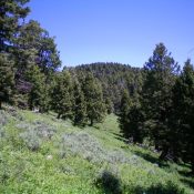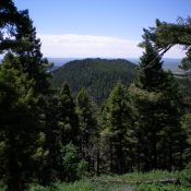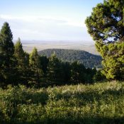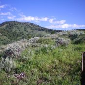
This peak is not in the book. Published December 2020 Peak 8450 is located in the Western Centennials above Porcupine Pass (7,062 feet). It is a long, narrow ridgeline summit that is northwest of the pass. It is most easily climbed via its southeast ridge from Porcupine Pass. USGS Corral Creek Access Porcupine Pass (7,062 feet) is reached from I-15 … Continue reading