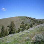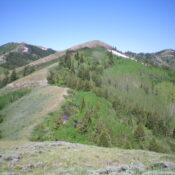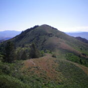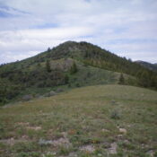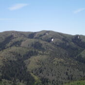
This peak is not in the book. Published November 2024 Peak 6665 is a pyramidal hump that sits above Lower Valley in the Wooley Range of eastern Idaho. It is entirely on private land. You must obtain permission before undertaking this climb. USGS Lower Valley Access From ID-34 near the southeast corner of Blackfoot Reservoir, turn right/east onto [signed] Blackfoot … Continue reading
Book Updates
This peak is not in the book. Published November 2024 Birch Creek Mountain is the highest peak in the Wolverine Creek section of the Blackfoot Mountains. Yes, it’s even higher than [popular] Taylor Mountain (7,404 feet) to its northwest. Birch Creek Mountain sits above Double W Divide at the headwaters of Wolverine Creek. It is on private land with some … Continue reading
This peak is not in the book. Published November 2024 Peak 6823 sits above Allen Ranch and the Lower Valley in the Wooley Range. It is most easily climbed via either its north or northeast sides. The east and south sides are blocked by a private ranch (Allen Ranch). The route described is probably the shortest, most direct line to … Continue reading
This peak is not in the book. The name was proposed by Rick Baugher and refers to the landowner. Use Rick’s link below for additional details. Published November 2024 Peak 7406 sits above Double W Divide (to its east) and at the headwaters of Wolverine Creek in the Blackfoot Mountains. While antenna-clad Taylor Mountain (7,404 feet) to its northwest gets … Continue reading
This peak is not in the book. The private land may or may not be open to the public. It is always best to get permission. Published November 2024 Peak 6620 sits above both Saw Log Basin and Wolverine Basin in the Blackfoot Mountains. It is located due west of the more popular (and impressive) Taylor Mountain (7,404 feet). Nonetheless, … Continue reading
This peak is not in the book. Published November 2024 Peak 6530 sits just south of Brush Creek Road (a well-maintained county road) in the Blackfoot Mountains. It towers above the powerful Blackfoot River and Morgan Bridge. It can be climbed from the northeast entirely on BLM land. USGS Dunn Basin Access From Exit 116 (Sunnyside Road) on I-15 in … Continue reading