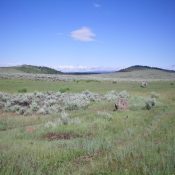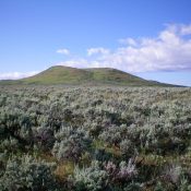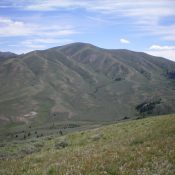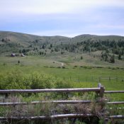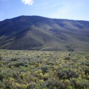
This peak is not in the book. Published December 2020 Antelope Ridge is located on the south side of the Antelope Valley, northwest of Kilgore, ID. It is a rather nondescript, forested ridge with two possible summits based on the contour lines of the USGS topo map. The south summit is the high point. Although there is private land in … Continue reading