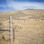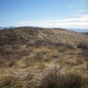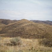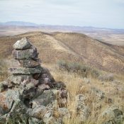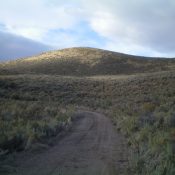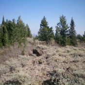
This peak is not in the book. Published November 2020 Sheep Mountain is a big, forested mountain on the southwest side of Long Valley, southeast of Bone, ID. This area is a mix of BLM land and private ranch land. The upper part of this climb is on private land but I encountered no fencing, orange paint, or signage to … Continue reading