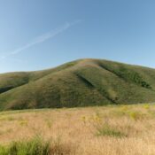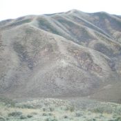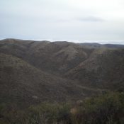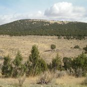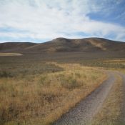
This peak is not in the book. Published November 2020 Peak 5578 is situated northwest of White Valley and west of Deep Creek at the south end of the Deep Creek Mountains. This area is a patchwork of public and private land so be careful. This route is entirely on BLM land. Peak 5578 is most easily accessed via a … Continue reading