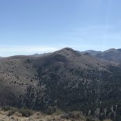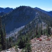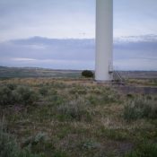
This peak is not in the book. This peak is located on private property. Please obtain permission before visiting the summit. Published November 2020 Red Butte is another scrub hump with a fully-operational windmill atop it. It is located along Kepps Crossing Road and is on private land. However, I encountered no fencing, signage, or orange paint prohibiting entry. I … Continue reading
Search Results for: a cl
This peak is not in the book. This peak is located on private property. Please obtain permission before visiting the summit. Published November 2020 Little Horse Butte is the [lower] neighbor to Big Horse Butte. Like its bigger brother, Little Horse Butte has a fully-operational windmill atop it. When you stand under one of these behemoths, you will be intimidated … Continue reading
This peak is not in the book. This peak is located on private property. Please obtain permission before visiting the summit. Published November 2020 Big Horse Butte is one of the few ranked summits in the “Windmill District” east of Idaho Falls. These are the foothills of the Caribou Range and are dotted with numerous windmills visible from I-15. On … Continue reading
This peak is not in the book. Published October 2020 Peak 5342 is located northeast of Red Mountain and east of the main Owyhee Mountains crest. USGS Toy Pass Access This peak is accessed from Oreana, Idaho. The directions in the book [A](3) on Pages 346-347] described the route to Toy Pass via the Bachman Grade/Triangle Road. This road is … Continue reading
This peak is not in the book. Published September 2020 This peak is located just southeast of Bellevue, Idaho. The peak is on BLM land but is completely surrounded by private land. As a result, access is an issue. Nevertheless, the peak is occasionally climbed. Dan Robbins’ trip report is linked below and discusses a possible access route. USGS Seamans … Continue reading
Climbing and access information for the lower summit of Mount Mills is on Page 129 of the book. Judi Steciak and Carl Hamke pointed out to me that the map makers placed the peak’s name on its lower northern summit (not an uncommon occurrence). This entry corrects the error and will get you to the true summit. Published September 2020 … Continue reading