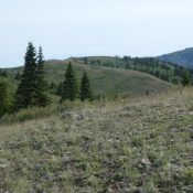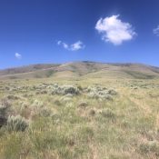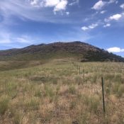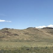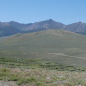
This peak is not in the book. Livingston Douglas provided additional photos. Updated November 2020 Reed and Davis Benchmark is a straggler on the edge of the White Knob Mountains. It is located just northwest of the Copper Basin Guard Station. USGS Copper Basin Knob Access Access this peak from Copper Basin [(B) on Page 265 of the book]. Drive … Continue reading
Search Results for: a cl
This peak is not in the book. Published June 2020 This minor peak is located on the ridge line that connects the main Lost River Range crest with the Hawley Mountains. USGS Hawley Mountain Access Primary access to this peak is from the Deer Creek Pass Road/FS-279 which, in turn, can be reached from the Wet Creek/Pass Creek Road [(A)(5) … Continue reading
This peak is not in the book. Updated January 2023 Skyline Peak sits on the main Albion Range crest midway between Mount Harrison and Mount Independence. The peak has two summits of nearly equal height. The Skyline Trail crosses its summit. USGS Mount Harrison Map Errors First, the point elevation for Peak 7362 is too high for the final contour … Continue reading
This peak is not in the book. Livingston Douglas added two additional photos. Updated January 2023 Peak 7116 sits east of the main Jim Sage Mountains crest and southeast of Elba Peak, the range high point. This peak has a broad east face, a long summit ridge, and expansive views. USGS Kane Canyon Access From Malta, Idaho, drive south on … Continue reading
This peak is not in the book. Livingston Douglas added three photos to this page. Updated January 2023 Red Rock Mountain sits east of the main Jim Sage Mountains crest on the north side of Kane Canyon. The peak’s lower slopes are interspersed with junipers. The summit is covered by a ghost forest of burned trees. USGS Kane Canyon Access … Continue reading
This peak is not in the book. Livingston Douglas added three additional photos. Updated January 2023 This peak sits east of the main Jim Sage Mountains crest and due east of Elba Peak, the range high point. The peak has a long east-west summit ridge with three rocky points. The middle point is the true summit. USGS Kane Canyon Access … Continue reading