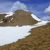
Soldier Cap

This peak is not in the book. Also see the Owyhee Mountains Peaks List for all of the peaks in this range. This a good peak to climb in the Spring along with its neighbor Wilson Peak. This area burned hot in 2016 and burned off most of the brush, leaving wide-open country. The ridge between Wilson Peak and Soldier Cap is … Continue reading
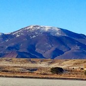
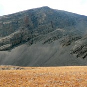
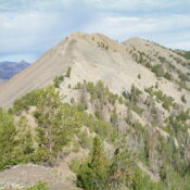
Wilson Peak 5353

This peak is not in the book. Also see the Owyhee Mountains Peaks List for all of the peaks in this range. Updated December 2020 Wilson Peak and nearby Soldier Cap are great Spring hikes. Wilson Peak’s summit is accessed by a 4WD road that is used to service the communications equipment on its summit. The views from the summit are … Continue reading

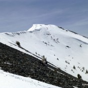
Hidden Peak

Climbing and access information for this peak is on Page 286 of the book. Hidden Peak is located in a section of the Lost River Range drained by the Big Lost River in the south, Lower Cedar Creek in the west, Wet Creek in the north, and Pass Creek in the east. This section of the range is the most … Continue reading

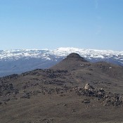
Peak 10540 (Hemingway Peak)

This peak is not in the book. Updated July 2020 Hemingway Peak is located a mile WNW of Peak 10598 and is accessed from the same road. I believe that Rick Baugher first identified the peak as Hemingway Peak, which seems entirely appropriate to me. USGS Rock Roll Canyon Access Park Creek Road, FS-140 and the Trail Creek Loop Trail, … Continue reading

Peak 10380 (Rosencrance Peak) by Livingston Douglas

This peak is not in the book. See Dan Robbins’ trip report linked below for another ascent route. Updated November 2024 The Rosencrance massif has two ranked summits: the southeast summit (Rosencrance Peak) and the northwest summit (West Rosencrance Peak). The southeast summit is just over 100 feet higher than the northwest summit. Due to very loose, steep gravel on … Continue reading