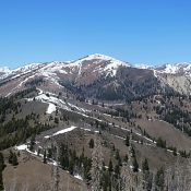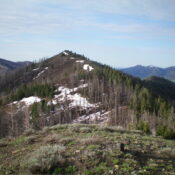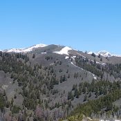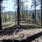
This peak is not in the book. Published May 2020 This small peak is located on the west side of the South Fork Salmon River. Use the link below to read John Platt’s trip report to learn how to reach this gem. The peak’s low elevation makes this a pleasant, forested early-season hike. USGS Teapot Mountain … Continue reading
Search Results for: a cl
Climbing and access information for this peak is on Page 212 of the book. Published May 2020 Dollarhide Mountain is located due north of Dollarhide Summit. The peak’s half-mile long summit ridge trends from south to north. USGS Dollarhide Mountain Access FS-227/Warm Springs Creek Road [(A)(7) on Page 214]. Google Maps gives directions to the summit from Ketchum and Fairfield, … Continue reading
This peak is not in the book. Published May 2020 This big rounded summit is located northeast of Dollarhide Summit. USGS Dollarhide Mountain Access FS-227/Warm Springs Creek Road [(A)(7) on Page 214]. Follow this road from Ketchum to Dollarhide Summit. West Ridge, Class 2+ Follow the Smoky Mountains crest north from Dollarhide Summit over Dollarhide Mountain to the peak’s west … Continue reading
This peak is not in the book. Livingston Douglas revised this page, adding additional detail to the route that I followed. He also provided some new photos. Updated November 2023 Peak 8100 is located west of the main Smoky Mountains crest between the West Fork and East Fork of Willow Creek. This peak is usually snow-free by mid-May. See the … Continue reading
This peak is not in the book. Livingston Douglas added his variation of the route that I followed to this page. Updated November 2023 This peak is southeast of Dollarhide Summit on the main crest of the Smoky Mountains. This summit has one of the best 360-degree views in all of Idaho. In addition to the neighboring Smoky Mountain peaks, … Continue reading
This Granite Mountain (one of 12 Granite Mountains/Peaks in Idaho) is not in the book. Published May 2020 This peak is located due south of House Mountain on a long north/south ridge line. This area was recently ravaged by a forest fire. The peak rises up steeply above the South Fork Boise River. USGS House Mountain Access Wilson Creek trailhead … Continue reading