Peak 9284 by Livingston Douglas

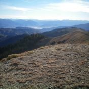
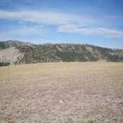
Peak 9284 as viewed from the west along the Continental Divide. The summit is dead-center and dark with shadows. Livingston Douglas Photo

This peak is not in the book. Published November 2020 Peak 9284 is a peak on the Continental Divide that sits east of the [more rugged and higher] Peak 9900/The Knuckle and The Thumb (9,760 feet). Peak 9284 is a gentle hump that is in a somewhat remote position on the Divide and takes a bit of hiking to reach … Continue reading
Peak 9768 by Livingston Douglas

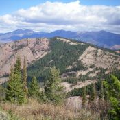
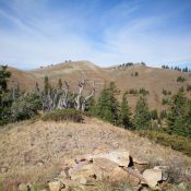
The elongated summit ridge of Peak 9768 as viewed from the east. The summit high point is left of center. Livingston Douglas

This peak is not in the book. Published November 2020 Peak 9768 is located on the Continental Divide. It towers over Deadman Creek (MT) to its west and Divide Creek Lake (ID) to its south. Peak 9768 is the quintessential ridgeline summit. It is most easily climbed via Divide Creek Trail/FST-111 and its northeast ridge. USGS Deadman Lake Access Same … Continue reading

Peak 9285 by Livingston Douglas

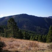
Peak 9285 as viewed from Point 9000+ on the east ridge. The summit is just left of center. The northeast ridge is the right skyline. Livingston Douglas Photo

This peak is not in the book. Published November 2020 Peak 9285 is a ridgeline summit that is overshadowed by its bigger, taller neighbor to the northwest—Big Elk Mountain (9,476 feet). Some might even consider Peak 9285 to be a hump on the long southeast ridge of Big Elk Mountain. Peak 9285 sits at the head of Chicken Ridge and … Continue reading

Chicken Ridge by Livingston Douglas

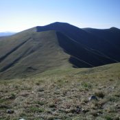
Chicken Ridge as viewed from the summit of Peak 9285. It is the first ridge in the photo that is beyond the broken rock of the summit. The ridge is heading sharply left and becomes forested pretty quickly. Livingston Douglas Photo

This ridge is not in the book. Published November 2020 Chicken Ridge is another of the many named ridges in this area of the Caribou Range. It is a minor north-to-south ridge that lies between Big Elk Mountain and Elk Creek. Its toe is at the convergence of Bear Creek Road/FSR-058 and West Fork Road/FSR-863. USGS Poker Peak Access Same … Continue reading

Peak 7940 by Livingston Douglas

Peak 7940 (mid-ground) as viewed from the south. Livingston Douglas Photo

This peak is not in the book. Published November 2020 Peak 7940 is located due north of Poker Peak (8,439 feet) and sits at the head of a peninsula that juts out into the Palisades Reservoir. It towers over Pine Creek to its southwest and Landslide Creek to its east. Due to forest cover, nearby Palisades Reservoir is not visible … Continue reading

Poker Peak by Livingston Douglas

Poker Peak (forested in center) as viewed from the north. The summit sits about 3/4 mile back from the visible forest. Livingston Douglas

Climbing and access information for this peak is on Page 371 of the book. Published November 2020 Poker Peak is a somewhat elusive peak with three summits of almost-equal height. The south summit is the high point. FST-158 skirts the east side of the summit area and a short scramble is required to reach the top. Poker Peak towers over … Continue reading