Peak 8792

Peak 8792 viewed from the Pahsimeroi Highway.

This peak is not in the book. Published June 2020 This peak is located southwest of the main Lemhi crest and Bear Mountain. This is a good early-season summit. The views of the Lemhi crest are well worth the effort. USGS Moffett Springs Access FS-099/Big Gulch Road [(C)(5) on Page 317]. Continue up FS-099 when it climbs southeast out of … Continue reading
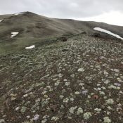
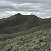
Peak 8980 (In the Way Peak)

This peak is not in the book. Published June 2020 This peak is located due north of Massacre Mountain. I first climbed this peak in 1988 on my way to North Massacre and Massacre Mountain. The climb was a quasi-death march which started at Buck Springs because the road was too muddy to go any farther. Rather than following the … Continue reading

Peak 8387 (The Cape)

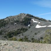
Peak 8387 viewed from the north.

This peak is not in the book. Published June 2020 This peak is located northeast of Massacre Mountain and south of Buck Springs. USGS Short Creek Access Dry Creek Cutoff Road/Buck Springs Road [(A)(6.1 alt.) on Page 290]. Drive the 4WD Buck Springs Road until it forks at the 8,000-foot contour. Take the left fork and drive up to the … Continue reading

Peak 6549 (Bolt Peak)

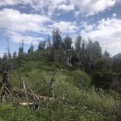
The brushy summit viewed from the south.

This peak is not in the book. Published June 2020 This peak is located on the south end of Lightning Ridge and north of the South Fork Payette River. Lightning Ridge is a rugged, steep, forested divide. Bolt Peak is the southernmost ranked summit on the ridge. USGS Lightning Ridge Access Primary access is from the Middle Fork Payette River … Continue reading

Peak 9248

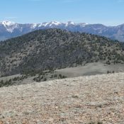
Peak 9248 viewed from the northeast.

This peak is not in the book. Published June 2020 This peak is the southwestern-most ranked peak in the Donkey Hills. USGS Short Creek Access The best access to the southern Donkey Hills is from the Dry Creek Road [(A)(6.1) on Page 290]. Follow the Dry Creek Road west to its junction with the Burnt Creek/Long Creek Road (partially signed … Continue reading

Peak 9291

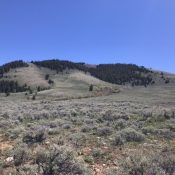
Peak 9291 viewed from Peak 9248.

This peak is not in the book. Published June 2020 This peak is located on the main Donkey Hills crest. USGS Short Creek Access The best access to the southern Donkey Hills is from the Dry Creek Road [(A)(6.1) on Page 290]. Follow the Dry Creek Road west to its junction with the Burnt Creek/Long Creek Road (partially signed in … Continue reading