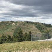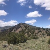
This peak is not in the book. Livingston Douglas climbed the peak from the west. His route is set out below mine. Updated January 2023 Peak 6562 is located at the south end of the Cotterel Mountains at the top of the Rice Creek drainage. While this section of the Cotterel Mountains is covered by junipers, the summit of Peak … Continue reading
Search Results for: a cl
This peak is not in the book. Published June 2020 Peak 7217 is located in at the south end of the Pleasantview Hills, west of MLD Benchmark and north of ID-38. USGS Ireland Springs Access and Route, Class 1 Primary access for this peak from ID-38, 0.5 miles west of Holbrook Summit. Turn onto the well-constructed gravel road that leads … Continue reading
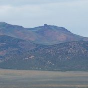
This peak is not in the book. Published June 2020 This peak is located north of ID-38 and Holbrook Summit. Its summit is crowned by a Federal Aviation Administration facility. USGS Ireland Springs Access and Route, Class 1 Access this peak from ID-38, 0.5 miles west of Holbrook Summit. Turn onto the well-constructed gravel road that leads to the summit … Continue reading
This peak is not in the book. Cotterell Mountain is the highest point in the Cotterel Mountains (i.e., the Malta Range). This area is identified on Page 349 of the book but the peak was not discussed. Livingston Douglas added a photo of the peak taken from the east. Updated January 2023 This peak is located southeast of Albion, Idaho … Continue reading
The Cotterel Mountains, a subrange of the Albion Range. are located on the east side of the Albion Range. The two mountain groups are connected at Connor Summit south of Albion, Idaho. This subrange is bounded on the north and east by ID-81. ID-77 runs along the west and south sides of the Cotterel Range. This subrange forms a long … Continue reading
The Jim Sage Mountains are a subrange of the Albion Range. The Idaho Encyclopedia (published by the Federal Writers Project during the Great Depression) originally designated this range along with the Cotterel Mountains as the Malta Range. Modern map makers have recognized that there are actually two separate subranges and adopted the Jim Sage and Cotterel names. The Jim Sage Mountains … Continue reading