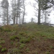
Anderson Mountain

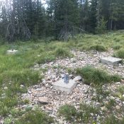
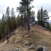
The footings for the lookout tower are all that remains on the summit.

This peak is not in the book. Updated July 2019 Anderson Mountain is located at the north end of the Beaverhead Mountains just west of the Continental Divide. It is a former fire lookout site. The tree-covered summit is located just off the Continental Divide Trail. There is a view south toward Pyramid Peak. USGS Gibbonsville Bing Young recounted the … Continue reading
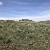
Peak 5317 (Tollgate Butte)

The summit viewed from the east.

This peak is not in the book. Livingston Douglas added the more direct North Face Route set out below. Updated November 2022 As US-20 climbs east up Rattlesnake Creek, it passes the site of a former tollgate. The road makes a sweeping right-hand turn and then a sweeping left-hand turn to climb out of the drainage. As the road completes … Continue reading

Kelly Mountain 4820

The summit of Kelly Mountain. John Platt Photo

This peal is not in the book. Published May 2019 This is one of seven Idaho peaks named Kelly Mountain. It is located east of Riggins, Idaho and just north of the main fork of the Salmon River. John Platt recommends this peak as a great early-season hike. His trip report is linked below. USGS Kelly Mountain Access Access this … Continue reading

Berg Mountain

The nondescript summit of Berg Mountain. John Platt Photo

This peak is not in the book. Published May 2019 Berg Mountain is located 4.5 miles east of Riggins, Idaho and two miles north of the Salmon River. It is the southwestern-most Clearwater Mountains summit and is easily accessed from Riggins. This peak is a good early-season destination. USGS Riggins Hot Springs Access Access this peak from Riggins by taking … Continue reading

Peak 9127 by Brett Sergenian

Peak 9217. The north ridge is on the right side of the photo. Brett Sergenian Photo

This peak is not in the book. Published May 2019 Peak 9127 is located in the northern Sawtooth Range, west of McGown Peak and west of Hanson Lakes. USGS Grandjean Access To access Peak 9127, take the Stanley Lake Creek Trail/ FST-640 [(B)(2)(a) on Page 208] for about 4 miles. Not far past the trail to Bridal Veil Falls, head … Continue reading

Peak 7660 by Brett Sergenian

The summit block of Peak 7660. Brett Sergenian Photo

This peak is not in the book. Published May 2019 Peak 7660 is located in the Middle Fork of the Payette River Section of the Salmon River Mountains north of Crouch. Peak 6985 (which appears to be technical) is just to the west. Like many summits in this area, Peak 7660 is capped by a granite dome. USGS Wild Buck … Continue reading