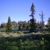
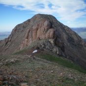
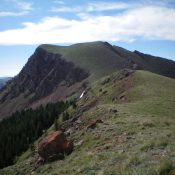
This peak is not in the book. Published November 2020 Little Butte, as its name implies, is a little butte located on the south side of US-20 and is east of the infamous “Three Buttes” (Big Southern Butte, Middle Butte, and East Butte). Little Butte is barely visible from US-20 not because of an intervening ridge blocking the view but … Continue reading
Search Results for: a cl
This peak is not in the book. Published November 2020 Opal Mountain is the high point in a heavily-mined area northeast of Spencer, ID. It separates East Threemile Creek from West Fork Rattlesnake Creek. It requires a short bushwhack up its north side to reach the summit. The south side of Opal Mountain is privately-owned and has several old mines … Continue reading
This peak is not in the book. Published November 2020 Peak 8150 is located in the Eastern Centennials. It separates Schneider Creek from Keg Spring Creek. Peak 8150 is easy to reach via Keg Spring Road/FSR-042 and its southeast face. Keg Spring is about 400 vertical feet below the peak and to its northeast. USGS Mount Jefferson Access Keg Spring … Continue reading
Climbing and access information for this peak is on Pages 327-328 of the book. Published November 2020 Red Conglomerate Peaks South is a striking, magnificent ridgeline summit that sits south of the Continental Divide. It is the highest point in the vicinity so it offers splendid views. This climb is part of a four-peak odyssey that includes Cobble Mountain (9,996 … Continue reading
This peak is not in the book. Published November 2020 Knob Mountain is a ridge hump on the Continental Divide just east of the Red Conglomerate Peaks. Though it has a gentle summit area, its north face is wickedly steep and rugged. I’m not sure how it acquired the name “Knob Mountain” as it doesn’t look like a knob or … Continue reading
This peak is not in the book. Published November 2020 Peak 7496 is a forested peak north of Kilgore, ID that sits above Pasture Creek (to the north), Cottonwood Creek (to the east), and East Camas Creek (to the west). A forest bushwhack is required as there are no trails or roads on this peak. The easiest climb is from … Continue reading