This peak is not in the book. Published June 2020 Peak 8339 is located southeast of Elkhorn Mountain. USGS Elkhorn Peak Access Malad Summit Road crosses over I-15 (no exit here). It is located 8.1 miles SSW of Downey on the Old Malad Highway. Set your altimeter to 0.0 at the junction of Malad Summit Road and the Old Malad … Continue reading
Search Results for: a cl
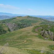
This peak is not in the book. Livingston Douglas added a new route and additional photos to this entry. Updated January 2023 Peak 7695 is the second highest summit in the Samaria Mountains. It is located due west of Samaria Mountain. USGS Grover Canyon Access BLM-614 is the primary access to this peak. See the Samaria Mountains and Samaria Mountain … Continue reading
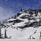
This peak is not in the book. Published June 2020 This peak is located northeast of Payette Lake. It rises up steeply above Crystal Lake. John Platt has climbed the peak via its north and south ridges. His GPS tracks are set out below. Use the links to read his trip reports. USGS Fitsum Summit Access Yellow Pine Road/FH-48 [(B)(3) … Continue reading
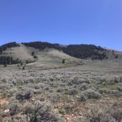
This peak is not in the book. Published June 2020 This peak is located southwest of the main Lemhi crest and Bear Mountain. This is a good early-season summit. The views of the Lemhi crest are well worth the effort. USGS Moffett Springs Access FS-099/Big Gulch Road [(C)(5) on Page 317]. Continue up FS-099 when it climbs southeast out of … Continue reading
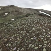
This peak is not in the book. Published June 2020 This peak is located due north of Massacre Mountain. I first climbed this peak in 1988 on my way to North Massacre and Massacre Mountain. The climb was a quasi-death march which started at Buck Springs because the road was too muddy to go any farther. Rather than following the … Continue reading
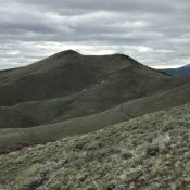
This peak is not in the book. Published June 2020 This peak is located northeast of Massacre Mountain and south of Buck Springs. USGS Short Creek Access Dry Creek Cutoff Road/Buck Springs Road [(A)(6.1 alt.) on Page 290]. Drive the 4WD Buck Springs Road until it forks at the 8,000-foot contour. Take the left fork and drive up to the … Continue reading