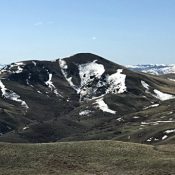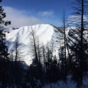
Peak 5660 (Snowdon Rock)

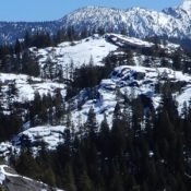
Snowdon Peak. John Platt Photo

This peak is not in the book. Published April 2020 Snowdon Rock is located between Little Payette Lake and Browns Pond. It is just south of Lick Creek/Yellow Pine Road. There is a lot of exposed granite on this peak which you must scramble over to reach the top. This peak is located on State of Idaho Land. John Platt … Continue reading

Peak 5305 (Narrows Overlook Peak)

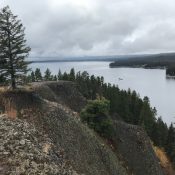
The view south from the summit. John Platt Photo

This peak is not in the book. Published April 2020 Narrows Peak is located in Ponderosa State Park just north of McCall, Idaho. The peak rises up above the “Narrows” of Payette Lake. Once you pay the entrance fee, you can reach this summit via vehicle, foot or bicycle. The park grooms cross-country ski trails in Winter which makes this … Continue reading

Peak 6860

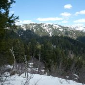
Peak 6860 viewed from Gallagher Peak.

This peak is not in the book. Published April 2020 This peak is located between Gallagher Peak and Scott Peak. Forest Service maps shows FST-029 traversing over the peak’s long summit ridge. USGS Lightning Ridge Access There is no short access route to this peak. The summit can be reached from Gallagher Peak by traversing the connecting ridge line. FST-029, … Continue reading

French John Hill

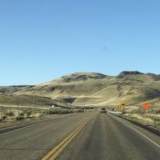
The lower slopes of French John Hill viewed from the north.

This peak is not in the book. Published April 2020 French John Hill is located west of US-95. The Idaho section of the Owyhee Mountains west of US-95 are part of 2 high plateau-like, rolling tablelands which are separated by Sands Basin. There are 3 ranked peaks and 4 unranked peaks found in this area. French John Hill is the … Continue reading