Eagle Rock

Eagle Rock through the trees viewed from the west. John Platt Photo

This formation is not found in the book. Published May 2019 Eagle Rock is a granitic formation located west of Caton Lake on the massive Log Mountain divide. The rock is a former fire lookout site. USGS Teapot Mountain Access Follow South Fork Salmon River Road South to the Camp Creek trailhead [(C)(1.1) on Page 139]. FST-290 leaves the trailhead … Continue reading

Peak 8410 by Brett Sergenian

The summit of Peak 8410. Brett Sergenian Photo

This peak is not in the book. Peak 8410 is located in the Salmon River Mountains to the south of Bull Trout Point and west of Spring Benchmark. USGS Bull Trout Point I made a snowshoe ascent of the peak. During the Winter, park at the plowed pullout on ID-21 next to the signed Bull Trout Lake Road. Follow the … Continue reading

Peak 4124 (Highland Mountain)

Highland Mountain viewed from the north.

This peak is not in the book. Paul Jurczak added an additional route. Livingston Douglas added an access update and additional photos. Highland Peak is located roughly 1.8 mikes north of Lucky Peak Dam. ID-21 circles the southern base of the mountain and Highland Valley Road crosses the peak’s North Slopes. This peak has great views of Lucky Peak Reservoir … Continue reading

Dave Lewis Peak

Climbing and access information for this peak is on Page 122 of the book. Published April 2019 Dave Lewis Peak is located on the divide between Pioneer Creek and Soldier Creek in the Frank Church River of No Return Wilderness Area. The peak was named after “Cougar Dave” Lewis who was a soldier, a pioneer, and a hunter. Lewis lived … Continue reading

Peak 4749 (Reynolds Peak)

This outcrop is the highest point of Reynolds Peak. Circle around the north side where you will find a tall step that leads to the top. There is a summit register.

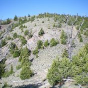
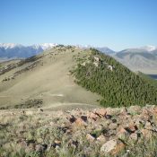
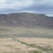
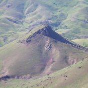
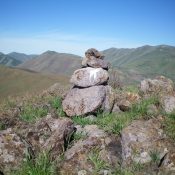
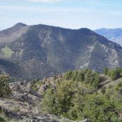
This peak is not in the book. Published March 2019 Peak 4749 sits north of the former village of Reynolds, Idaho. The summit is the culmination of a long south-to-north trending ridgeline that forms the eastern wall of the impressive Reynolds Creek Canyon. The paved Reynolds Creek Road, which does not actually follow Reynolds Creek, parallels the peak’s eastern flank. … Continue reading