Peak 8658

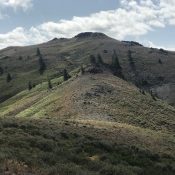
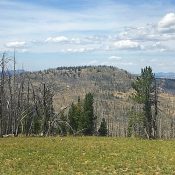
Peak 8658 viewed from Peak 8681.

This peak is not in the book. Published August 2019 Peak 8658 is located along Artillery Dome Road between Peak 8681 and Walkers Peak. Its big, rounded summit is an excellent viewpoint for surveying the Frank Church River of No Return Wilderness. USGS Big Soldier Mountain Access To reach this peak, use the Warm Lake/Landmark/Stanley Road (FS-22/579), which runs across … Continue reading
Peak 8681

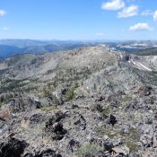
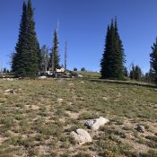
Peak 8681 viewed from Peak 8658. The south ridge is on the left.

This peak is not in the book. Published August 2019 This peak is southeast of Little Baldy and is located along the Artillery Dome Road. USGS Pistol Lake Access To access this peak, use the Warm Lake/Landmark/Stanley Road (FS-22/579), which runs across the Salmon River Mountains between ID-55 and ID-21, to reach Landmark, Idaho [(C)(1) on Page 138]. The town … Continue reading

Little Baldy

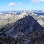
Looking north to the summit of Little Baldy.

This peak is not in the book. Published August 2019 Little Baldy is located on the western boundary of the Frank Church River of No Return Wilderness, northeast of Landmark and south of Lake Mountain. The peak’s nearly 1-mile long summit ridge encompasses a beautiful rolling meadow. The northernmost high point is the true summit, outdoing the southern summit area … Continue reading

Liberal Mountain

The summit viewed from the northwest ridge.

Climbing and access information for this peak is on Pages 215-216 of the book. Published August 2019 Liberal Mountain is located northeast of Fairfield, Idaho and north of Cannonball Mountain. The summit forms the northeastern-most point of the Soldier Mountains. It is an excellent viewpoint for observing the surrounding mountains including the highest Boise, Smoky, and Boulder Mountains peaks. The … Continue reading

Peak 8817

Peak 8817 from Peak 9004. John Platt Photo

This peak is not in the book. Published August 2019 Peak 8817 is located on the border of the Frank Church River of No Return Wilderness between Coin Mountain and Peak 9001. It sits above the Missouri Creek drainage. John Platt’s trip report for his traverse from The Pinnacles is linked below and is the basis for the routes set … Continue reading

Peak 9004

Peak 9004 viewed from the summit of Pinnacles Peak. John Platt Photo

This peak is not in the book. Published August 2019 This peak is located just northwest of Pinnacles Peak on the north side of the Missouri Creek drainage. This peak forms part of the boundary for the Frank Church River of No Return Wilderness. USGS Edwardsburg Access See the Pinnacles Peak page Southwest Ridge, Class 3 Climb from Missouri Creek. … Continue reading