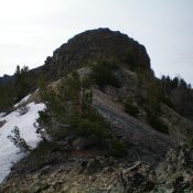
Commissary Ridge by Livingston Douglas

This peak is not in the book. Published December 2020 Commissary Ridge is one of many named ridges in this area of the Caribou Range. It is one of the bigger ridges in the area and has a jeep/ATV road (FSR-017) leading to the ridge crest about a mile northwest of the summit. You must hike an old 2-track road … Continue reading
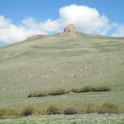
The Thumb by Livingston Douglas

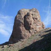
This formation is not in the book. The Lists of John elevation and coordinates are for nearby Point 9787 rather than for the named formation which is situated farther west. It is likely that the formation is unclimbed. Published December 2020 The Thumb is a rocky protrusion on the Continental Divide just west of Peak 9900/The Knuckle. This 40-foot chunk … Continue reading

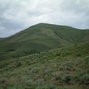
Bluebird Mountain by Livingston Douglas

This peak is not in the book. Published November 2020 Bluebird Mountain is a beautiful peak with thick forest on its northern aspects and a very rugged, rocky southeast face. It separates Chandler Canyon to its north from Bear Wallow Canyon to its south. The easiest ascent route is from Chandler Canyon via its northeast face. With an ATV or … Continue reading

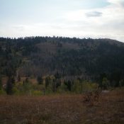
Peak 10316 by Livingston Douglas

This peak is not in the book. Published November 2020 Peak 10316 is a rugged, rocky outcrop on the narrow northwest ridge of Copper Basin Knob (10,784 feet). It falls only 4 feet short of being a ranked summit. The north face of Peak 10316 is very steep. Its easier northwest face is still a challenging Class 3 climb. USGS … Continue reading

Peak 8955 by Livingston Douglas

This peak is not in the book. Published November 2020 Peak 8955 is located on the east side of Burma Road. It separates Corral Creek from Coyote Creek. The summit is a magnificent rocky buttress visible for miles. The easiest access is via the new FST-4070 (an ATV trail on the north side of Corral Creek) and the south side … Continue reading

Peak 7696 by Livingston Douglas

This peak is not in the book. Published November 2020 Peak 7696 is sandwiched between Champagne Creek to the east and Dry Creek to the west. Its east slopes are gentle but its west side is steep. You must thread a needle in order to remain on public land to and from the summit of Peak 7696. Most of the … Continue reading