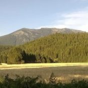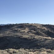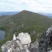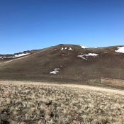
This peak is not in the book. Published April 2020 Peak 6311 is located on a broad ridge system midway between Getaway Mountain and Squaw Butte in the northwestern section of the Owyhee Mountains. Its location makes it an ideal viewpoint from which to observe this beautiful corner of the Owyhees. USGS Soldier Cap Access The best access is from … Continue reading