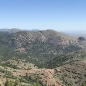
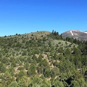
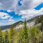
Climbing and access information for this peak is on Page 122 of the book. This peak was incorrectly identified in the book as Two Point “Mountain.” Published June 2019 Two Point Peak is located in the middle of the Frank Church River of No Return Wilderness south of Mormon Mountain and just south of Brush Creek Summit and FST-058. USGS … Continue reading
Search Results for: a cl
This peak is not in the book. Published June 2019 Stormy Peak is located 19 miles northwest of Salmon, Idaho and due south of the Salmon River. It has an active fire lookout which is on the National Historic Lookout Register. USGS Pine Creek Ridge Bing Young provided the following narrative: The Stormy Peak Lookout, along with Long Tom and … Continue reading

This peak is not in the book. The best approach is from the east via the Bachman Grade Road. Paul Leclerc contributed the alternative, more difficult northern access and route information for this remote, difficult-to-access peak. Updated October 2020 Red Mountain is an attractive peak located northeast of Quicksilver Mountain and the main Owyhee Mountains Crest. The summit is an excellent … Continue reading

This peak is not in the book. Published June 2019 Mercury Peak is located midway between Toy Pass and Quicksilver Mountain on the main Owyhee Mountains Crest. This peak offers scenic views of Quicksilver Mountain to the west, the Snake River Plain to the north, South Mountain to the south and Toy Mountain to the east. USGS Toy Pass Access … Continue reading
This peak is not in the book. Published June 2019 Stoddard Creek Lookout is located west of the Middle Fork Salmon River and the Bighorn Crags. It is another remote spot that once housed a fire lookout. USGS Aggipah Mountain. Bing Young summarized the lookout’s history as follows: The Stoddard lookout has been recently abandoned (1977) and it doesn’t appear … Continue reading

Climbing and access information for this peak is on Page 119 of the book. John Platt’s trip report is linked below. Updated August 2020 Cottonwood Butte is located deep within the Frank Church River of No Return Wilderness, west of the Middle Fork Salmon River and east of Cold Meadows. Accessing the peak on foot requires multiple days of hard … Continue reading