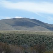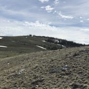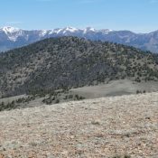
Peak 9291

Peak 9291 viewed from Peak 9248.

This peak is not in the book. Published June 2020 This peak is located on the main Donkey Hills crest. USGS Short Creek Access The best access to the southern Donkey Hills is from the Dry Creek Road [(A)(6.1) on Page 290]. Follow the Dry Creek Road west to its junction with the Burnt Creek/Long Creek Road (partially signed in … Continue reading
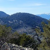
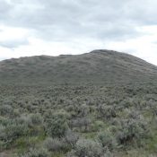
Peak 9552

This peak is not in the book. Published June 2020 This peak anchors the south end of the Donkey Hills. It rises precipitously above Dry Creek. It is only three feet shorter than Donkey Benchmark, the Donkey Hills high point. USGS Red Hills Access The best access to the southern Donkey Hills is from the Dry Creek Road [(A)(6.1) on … Continue reading

Peak 9375

Peak 9375 viewed from the north.

This peak is not in the book. Published June 2020 This peak is one five ranked peaks located at the southern end of the Donkey Hills. These peaks all rise nearly 2,500 feet above the surrounding valley floors. These seldom visited peaks are splendid destinations. USGS Short Creek Access The best access to the southern Donkey Hills is from the … Continue reading

Peak 7395

Peak 7395 viewed from the west.

This peak is not in the book. Livingston Douglas added a new descent route and photos. Updated November 2024 This peak is the shortest of the three ranked summits in the the Red Hills subrange of the Lost River Range. It is located southeast of Taylor Mountain, the highest peak in this small subrange. USGS Red Hills Access Primary access is … Continue reading

Red Hill

Red Hill viewed from the southeast.

This peak is not in the book. Livingston Douglas added a new route and photos. Updated November 2024 Red Hill is the second highest peak in the Red Hills subrange of the Lost River Range. It is a treeless peak with one of the best 360 degree views in Idaho. USGS Red Hills Access Primary access is from the Wet … Continue reading

Donkey Benchmark

The summit of Donkey Benchmark viewed from the west.

This peak is not in the book. Published May 2020 Donkey Benchmark is the highest point in the Donkey Hills. It is located at the northwest end of this Lost River Range subrange. The USGS and the Coast and Geodetic Survey have both surveyed from this summit. The views of the Lost River Range and Lemhi Range from this summit … Continue reading