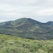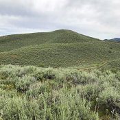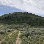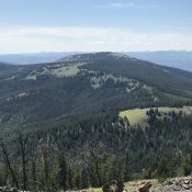
Phelan Mountain

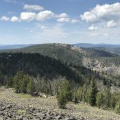
Phelan Mountain viewed from Baldy.

This peak is not in the book. Livingston Douglas added three photos. Updated November 2023 Phelan Mountain is located between Williams Creek Summit and Baldy on the Salmon River Ridge. It is an attractive peak with huge meadows on its East Slopes. While much of the upper slopes are covered with forest, the summit is a large rocky expanse with … Continue reading
Gutzman Ridge

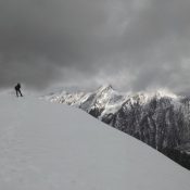
Gutzman Ridge viewed from Baldy.

This peak is not in the book. Livingston Douglas added two photos. Updated November 2023 Gutzman Ridge is located northwest of Baldy and southwest of Salmon, Idaho. USGS Leesburg Access See [(H)(1) and (2) on Page 142] updated here. Drive south from Salmon and the junction of US-93/ID-28 on US-93 for 4.9 miles. Turn west, cross the Salmon River, and … Continue reading

Peak 9759 by Jeff Hunteman

This approach was from Geertson Creek. From the BLM ownership there is more than one option to gain the main south approach. The route is mostly off trail hiking and an old two track that aids in getting to the south ridge. The route begins in the desert with sage brush to work around, then enters into the Douglas fir forest and finishes in the whitebark pine and subalpine fir. The route gains elevation steadily but is straight forward with no technical sections. The weekend of June 22, was just following a snow event that left snow at the upper elevations of the Beaverhead. The front was leaving as we approached the peak. The peak is set back from the crest of the Beaverheads and offers amazing views of Monument, Three Sisters, and Center Mountains. Looking North and east offers views of Freeman and into some Montana peaks. Looking down range you can see Goldstone Peak and down toward Goat Mountain.

This peak is not in the book. Published July 2019 This peak is located due west of Center Mountain and the main Beaverhead Mountains Crest. It is an impressive summit by any measure and towers over an unnamed lake that forms the headwaters of Bohannon Creek. USGS Bohannon Spring Access Geertson Creek [(B)(2)(a) on Page 328]. Please note that the … Continue reading

Deer Mountain 7931

Deer Mountain viewed from Peak 6412.

This peak is not in the book. Published July 2019 This attractive, bulky peak is located southwest of Iron Mountain and the main Soldier Mountains Crest. Deer Mountain forms the southern end of a ridgeline that descends in a southerly direction from Blue Ridge. This ridge is flanked by North Fork Lime Creek in the west and Middle Fork Lime … Continue reading

Peak 6218

Peak 6218. Photo, Margo Mandella

This peak is not in the book. Livingston Douglas climbed this peak from Peak 6850. His Southwest Shoulder Route is set out below. Updated November 2022 Peak 6218 is on a long north/south trending ridgeline that separates Maxfield Creek from Thompson Creek. USGS Deer Mountain Access FS-069 climbs up Hawks Gulch and then drops into Maxfield Creek. The road fords … Continue reading

Peak 6394

Peak 6394 viewed from the north.

This peak is not in the book. Livingston Douglas added two additional routes to this entry. Updated November 2022 Peak 6394 is located in the center of the southern section of the Soldier Mountains on a north/south trending ridge that separates Thompson Creek from Maxfield Creek. USGS Deer Mountain Access FS-069 climbs up Hawks Gulch and then drops into Maxfield … Continue reading