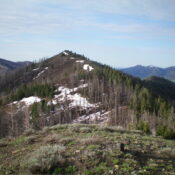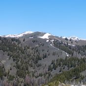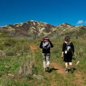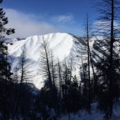
This peak is not in the book. Published May 2020 This big rounded summit is located northeast of Dollarhide Summit. USGS Dollarhide Mountain Access FS-227/Warm Springs Creek Road [(A)(7) on Page 214]. Follow this road from Ketchum to Dollarhide Summit. West Ridge, Class 2+ Follow the Smoky Mountains crest north from Dollarhide Summit over Dollarhide Mountain to the peak’s west … Continue reading