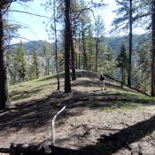
Peak 4820

The summit of Peak 4820. John Platt Photo

This peak is not in the book. Published May 2020 This peak sits directly north of Pittsburgh Saddle. Its slopes offer great views of Hells Canyon. USGS Grave Point Access Primary access is via FS-493/Pittsburgh Landing Road [(A)(2) on Page 104]. Park at the saddle to climb the peak’s south ridge. South Ridge, Class 2 The south ridge is a … Continue reading
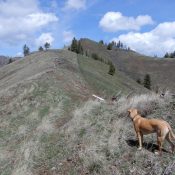
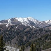
Wild Horse Butte

Wild Horse Butte viewed from the east. John Platt Photo

This peak is not in the book. Published May 2020 This peak is located north of Pittsburgh Saddle in the northern Seven Devils. The summit sits due west of the range’s crest and south of Camp Howard Ridge. USGS Grave Point Access Primary access is via FS-493/Pittsburgh Landing Road [(A)(2) on Page 104]. Turn onto FS-493F roughly 0.5 miles below … Continue reading

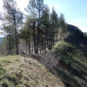
Camp Howard Ridge

Camp Howard Ridge viewed from the south. John Platt Photo

This peak is not in the book. Published May 2020 Camp Howard Ridge is the last major summit at the north end of the Seven Devil Mountains. Thanks to its 1,700+ feet of prominence, it is a great perch from which to view this seldom-visited corner of Idaho. Mike Hays reports that this peak “is the highest point near the Idaho … Continue reading

Peak 6652 (Holdover Peak)

This peak is not in the book. Published May 2020 This peak is located on the west side of the South Fork Salmon River and east of the Lick Creek Range crest. Its low elevation makes it a good early-season destination. Use the link below to read John Platt’s trip report for ascent details. USGS White Rock Peak … Continue reading

Peak 4740 (Martin Mountain)

This peak is not in the book. Published May 2020 This small peak is located on the west side of the South Fork Salmon River. Use the link below to read John Platt’s trip report to learn how to reach this gem. The peak’s low elevation makes this a pleasant, forested early-season hike. USGS Teapot Mountain … Continue reading

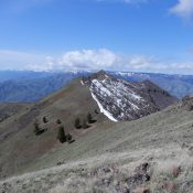
Dollarhide Mountain

Dollarhide Mountain viewed from Peak 8595 (Trouble Peak)

Climbing and access information for this peak is on Page 212 of the book. Published May 2020 Dollarhide Mountain is located due north of Dollarhide Summit. The peak’s half-mile long summit ridge trends from south to north. USGS Dollarhide Mountain Access FS-227/Warm Springs Creek Road [(A)(7) on Page 214]. Google Maps gives directions to the summit from Ketchum and Fairfield, … Continue reading