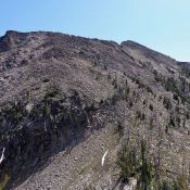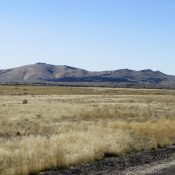
This peak is not in the book. Margo Mandella and Livingston Douglas provided the information based below based on separate climbs. Updated December 2020 Cedar Butte is a prominent and popular peak in Bingham County, in an area that locals call the greater “Arco Desert.” The Bureau of Land Management conducts research within a 36,000-acre wilderness study area that includes … Continue reading
Search Results for: a cl
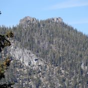
Climbing and access information for this peak is found on page 345. Also see the Owyhee Mountains Peaks List for all of the peaks in this range. Published September 2019 South Approach War Eagle Mountain has a patchy combination of public land (managed by BLM) and private land used by mining and communications companies. In spite of the private ownership, … Continue reading
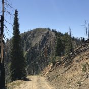
This peak is not in the book. Thanks to Dave Pahlas for the route information. His trip report is linked below. Published September 2019 Peak 9743 is located between Aggipah Mountain and Sheepeater Mountain on the West Side of Ship Island Lake. USGS Mount McGuire Access Access this peak from Ship Island Lake [(H)(4.1.1)(a),(a.2) and (a.2.1) on Pages 143-144]. Northwest … Continue reading
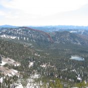
This peak is not in the book. Published September 2019 Peak 8401 is located northeast of McCall and Payette Lake near Cougar Lake. It is another remote Lick Creek Subrange summit. Like many Lick Creek Subrange peaks, this peak is capped by a granite formation that raises the difficulty of reaching the highest point. USGS Blackmare Access The long journey … Continue reading
This peak is not the book. Published September 2019 Feltham Creek Point is located roughly 21 miles northwest of Stanley, Idaho. This peak is a former fire lookout site. The view from the summit is exceptional and includes the Sawtooths and Cabin Creek Peak. USGS Pinyon Peak Access and Route, Class 1 Leave ID-21 18.0 miles east of Stanley by … Continue reading
Climbing and access information for this peak is on Page 129 of the book. Published August 2019 Langer Peak is located northeast of Roughneck Peak and northeast of Langer Lake. USGS Langer Peak … Continue reading