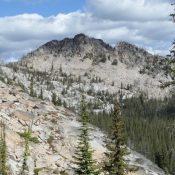
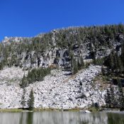
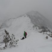
This peak is not in the book. Published February 2020 Lake Rock is situated at the North End of the Lick Creek Range, north of Diamond Ridge. The peak has a rugged summit block and an outstanding view. USGS Victor Peak Access FH-21/Warren Wagon Road [(B)(2) on Page 135]. The trailhead for this peak is located 24.0 miles north of … Continue reading
Search Results for: a cl

This peak is not in the book. Published February 2020 The Beast is located southeast of Lick Creek Summit. The peak rises steeply above Cly Lakes Basin. USGS Box Lake Access The route to this peak begins at Lick Creek Summit. Access the Lick Creek Summit via Yellow Pine/Lick Creek Road/FH-48 [(B)(3) on Page 136], which is 20 miles from … Continue reading

This peak is not in the book. Published February 2020 Peak 8540 is located east of the main Lick Creek Range Crest between North Fork Buckhorn and Fitsum Creeks. This peak is in the middle of nowhere. USGS Fitsum Peak Access East Fork Lake Fork trailhead [(B)(3)(b) on Page 136]. Hike up the East Fork Lake Fork Trail to the … Continue reading
Climbing and access information for this peak is on Page 112 of the book. Published February 2020 Victor Peak is located southeast of Loon Lake on a ridgeline that divides Enos and Loon Creeks. USGS Victor Peak Access FST-081/FST-084, Loon Lake Trails [(B)(2)(b) on Page 135] Northeast Ridge East, Class 2 This route, which begins at Loon Lake, is described … Continue reading

This peak is not in the book. Published February 2020 Peak 8796 is located due south of the Twentymile Lakes Basin and just southwest of Peak 8808. USGS Box Lake Access FST-085/FST-315, Twentymile Lakes Trail [(B)(2)(a) on Page 135]. North Gully, Class 2 Follow the trail to South Lake. Climb the gully to the summit ridge. Follow the summit ridge … Continue reading
This peak is not in the book. Published February 2020 This peak is located on Coolwater Ridge, west of Coolwater Mountain. It is named after Andy Hjort, a government trapper and a deputy game warden in the early 1900s. He worked traplines in the area that became the Selway-Bitterroot Wilderness. Hjort also stocked many of the wilderness lakes with fish … Continue reading