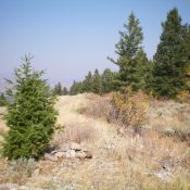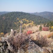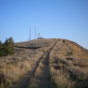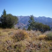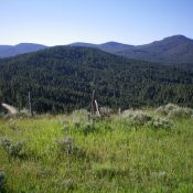
This peak is not in the book. Published December 2020 Peak 7496 is located in the Western Centennials above Porcupine Pass (7,062 feet). It is one of three humps of similar height that are south or east of the pass and are close to each other: Peak 7496, Point 7388, and Peak 7428. This area is thickly forested and navigation … Continue reading
Search Results for: a cl
This peak is not in the book. Published December 2020 Peak 8340 is one of several peaks that are near, or on, the Fourth of July Ridge deep in the Caribou Range due west of the north end of Palisades Reservoir. This climb is the first of a foursome that includes Peak 8340, Peak 8300, Peak 8393, and Fourth of … Continue reading
This peak is not in the book. Published December 2020 Old Man Ridge is a nice, open ridge that is located just inside the Caribou National Forest boundary southwest of Freedom, WY. It offers expansive views. FST-024 (an ATV trail) goes to the summit from Deer Creek Road/FSR-156 and is the easiest ascent route. Old Man Ridge can be combined … Continue reading
This peak is not in the book. Published December 2020 Little Star Benchmark is a wonderful little hump on the south side of Deer Creek in the Webster Range. It is an easy scramble from Deer Creek Road/FSR-156 with minimal bushwhacking. The views from the open summit are splendid. Little Star Benchmark even includes a nice summit cairn and a … Continue reading
This peak is not in the book. Published December 2020 Lower Black Benchmark is the south summit of Black Mountain. I suspect that many of the folks driving along US-89 to the east probably regard this antenna-clad summit as the high point on Black Mountain, but it is not. The true summit lies about 0.8 miles farther north and is … Continue reading
This peak is not in the book. Published December 2020 Congress Knob is located northwest of the Palisades Dam and separates Dry Gulch from Yeaman Creek. It is merely a point on a mostly-forested ridge that extends northeast from Red Benchmark (8,952 feet). It is probably most easily climbed via the Russell Creek Trail/FST-266 and the [mostly-open] southwest ridge. USGS … Continue reading