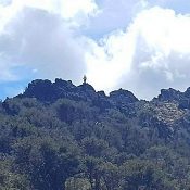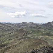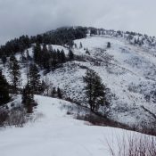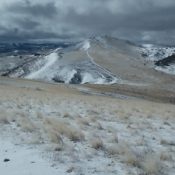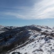
This peak is not in the book. Published May 2018 “Lone Tree Peak” (Peak 6813) is located along the Idaho/Oregon border northwest of South Mountain and is accessed from Mud Flat Road. USGS Cliffs Access To access Peak 6813, turn onto Yturri Blvd south of Jordan Valley which turns into Mud Flat Road. Follow Mud Flat Road until you reach … Continue reading
Search Results for: a cl
This peak is not in the book. Black Mountain is located on the northern end of an impressive north/south trending ridgeline which descends from the main Silver City Range Crest at Slacks Mountain, separating Reynolds Creek on the west from Rabbit Creek on the east. While Black Mountain does not have a great amount of prominence, it is a massive … Continue reading
This peak is not in the book. Published May 2018 Peak 6820 is located north of Slacks Mountain midway between Slacks and Black Mountain on a big sweeping ridge. The highest point of this peak sits just west of the Black Mountain Road. In reality there are four points which could be the highest point. Three of the four are … Continue reading
This peak is not in the book. Published May 2018 Peak 6380 sits due east of Squaw Butte. It is located on private property and is inaccessible unless you get permission from the owner. USGS Soldier Cap … Continue reading
This peak is not in the book. Published April 2018 Slaughterhouse Peak is located in the southwest corner of the Salmon River Mountains. It rises steeply out of the deep South Fork Payette River Canyon. The Deadwood River borders the peak to the east and Big Pine Creek drains the peak’s West Slopes. Slaughterhouse Creek empties the peak’s East Face. … Continue reading
This peak is not in the book. Published April 2018 This peak is located southeast of Squaw Butte. Although a 4WD road leads close to its summit, it would be difficult to do this one as a drive-up since the road conditions are quite rough. USGS Rooster Comb Peak Access To reach this peak, follow Wilson Creek Road to the … Continue reading