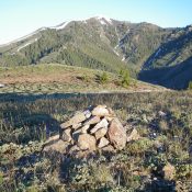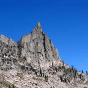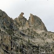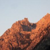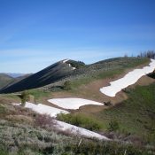
This peak is not in the book. Livingston Douglas climbed the peak via a long route from Muldoon Canyon. His ascent and descent routes are set out below. He descended the peak’s southeast ridge which ends at a 7,400-foot saddle west of Bell Mountain. This saddle can be reached by the road to Bell Mountain. Updated September 2020 Peak 7921 … Continue reading
Search Results for: a cl
This peak is not in the book.I climbed Livingston’s route and added my GPS track and a few comments below. This peak is the best reached from Peak 7158. Updated June 2022 Peak 7174 sits at the head of Lees Gulch. It is the highest of the many ridge humps in this area. The easiest ascent is via the southeast ridge … Continue reading
This peak is not in the book. Published December 2019 Peak 7536 is a beautiful peak that quickly rises almost 2,000 vertical feet from Croy Creek Road on the east side of Red Elephant Gulch. Its south ridge makes for a good early-season climb when the mountains around Ketchum are still snow-laden. There is a lot of private property in … Continue reading
Climbing and access information for this peak is on Pages 192-193 of the book. Updated August 2020 This peak, also known as Big Baron Spire and Old Smoothie, towers over Baron Creek. A magnitude 4.2 earthquake on August 8, 2020 toppled the top spire off this peak. The imposing spire that stood on top of the peak was an imposing … Continue reading
Climbing and access information for this tower is on Page 192 of the book. To read more about the history of El Pima, see Ray Brooks’ article: Fred, Pete and Jack’s Big Sawtooth Adventure. USGS Warbonnet Peak … Continue reading
Climbing and access information for this formation is on Page 175 of the book. To read more about the history of Grand Aiguille, see Ray Brooks’ article: Fred, Pete and Jack’s Big Sawtooth Adventure. USGS Mount Cramer … Continue reading