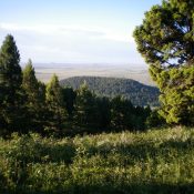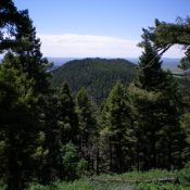
This peak is not in the book. Published December 2020 Peak 7415 is a forested hump that is a short ridge scramble from its connecting saddle with Peak 8026 along FSR-027/Aldous Lake Road. USGS Antelope Valley Access From the north side of Kilgore, ID, drive north on [signed] Cottonwood Creek Road/FSR-026. At 3.9 miles, reach a [signed] junction with East … Continue reading
Search Results for: a cl
This peak is not in the book. Published December 2020 Peak 7766 is a forested hump that separates Little Creek from Kay Creek in the Centennial Mountains north of Kilgore, ID. It is most easily climbed via a bushwhack from a hairpin turn in FSR-027/Aldous Lake Road at its junction with [closed] FSR-091. This climb is entirely on National Forest … Continue reading
This peak is not in the book. Published December 2020 Peak 6984 is a forested hump located north of Kilgore, ID. Combining this peak with nearby Peak 7496 makes for a good two-peak outing of two ranked Centennial mountains. This area is a mix of private and public land so be careful of the specific line that you take. The … Continue reading
This peak is not in the book. Published December 2020 Antelope Ridge is located on the south side of the Antelope Valley, northwest of Kilgore, ID. It is a rather nondescript, forested ridge with two possible summits based on the contour lines of the USGS topo map. The south summit is the high point. Although there is private land in … Continue reading
This peak is not in the book. Published December 2020 Morgan Crater is located on the west side of the Dubois-Kilgore Road at the 16.3-mile point. This area is a mix of private and public/BLM land. Much of this crater is on private land, so please obtain permission from the landowner before attempting this climb. The summit high point is … Continue reading
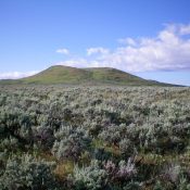
This peak is not in the book. Published December 2020 Peak 6597 is a volcanic uplift and qualifies as a ranked summit. It has two summits. The east summit is the measured summit and is the true summit. The west summit, which has a large cairn, is slightly lower. This hike is entirely on BLM land. USGS Idmon Access From … Continue reading