Flag Knoll by Livingston Douglas

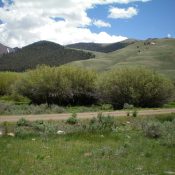
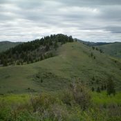
Flag Knoll (the summit is left of center) as viewed from nearby Beaver Ridge to the northwest. Livingston Douglas Photo

This peak is not in the book. Published November 2020 Flag Knoll is a ranked summit located right next to Skyline Road. It is an easy hike from the road via an old, abandoned ATV road (now signed for foot traffic only) that is not shown on maps. The summit offers great views of the surrounding peaks. Flag Knoll has … Continue reading
Beaver Ridge by Livingston Douglas

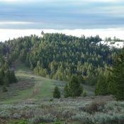
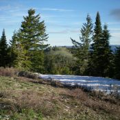
Beaver Ridge (in center, framed by the pine trees) as viewed from the southwest ridge of Flag Knoll to its south. Livingston Douglas Photo

This peak is not in the book. Published November 2020 Beaver Ridge is one of many named ridges in the Caribou Range. It lies along Skyline Road/FSR-075 which runs south for miles along the western edge of the Caribous. Beaver Ridge is an unranked summit that is an easy walk up an old jeep road from Skyline Road. USGS Commissary … Continue reading

Peak 7042 by Livingston Douglas

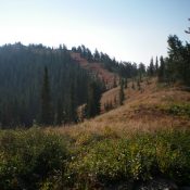
Peak 7042 as viewed from Point 6972 to its southwest. The gentle, upper southwest ridge is coming at the camera. The summit is semi-forested and is in dead-center. Livingston Douglas Photo

This peak is not in the book. Published November 2020 Peak 7042 is one of two ranked summits located on north side of Kepps Crossing Road above Tex Creek. This peak barely makes it as a ranked summit with only 302 feet of prominence. It is way back in and is not visible from Kepps Crossing Road. This two-peak journey … Continue reading

Peak 9863 by Livingston Douglas

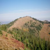
Peak 9863 as viewed from Burma Road at Corral Creek. The summit is the highest hump just right of center. The north ridge route comes up from just left of the photo and climbs over the forested hump (just left of center) and continues rightward to the summit. Pic #206: Looking up the north ridge of Peak 9863 from the 9300-foot level. The summit is the open hump well right of center. Livingston Douglas Photo

This peak is not in the book. Published November 2020 Peak 9865 is an overlooked hump that is located west of the White Knob Crest. It is connected to Cabin Mountain by a 9,163-foot saddle. One might contend that Peak 9865 is really just a bump (albeit a significant one) on the west ridge of Cabin Mountain. It is a … Continue reading

Red Peak by Livingston Douglas

Red Peak as viewed from the southeast. Livingston Douglas Photo

Climbing and access information for this peak is on Page 371 of the book. Published November 2020 Red Peak is a named peak on Red Ridge. However, it is not the high point. That honor goes to Red Benchmark to its south (8,952 feet). Red Peak is most easily reach via its northeast face and the Red Ridge Trail/FST-264 from … Continue reading