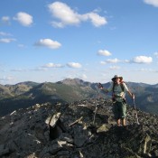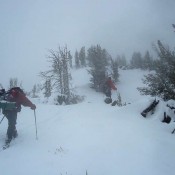
This peak is not in the book. Collier Peak sits northeast of Snowbank Mountain and just east of the West Mountains Crest. The peak can be climbed from the road via the connecting ridges. Follow the West Mountains Crest Trail north from the Snowbank Mountain Road to the north side of Point 8231. Leave the trail and follow the connecting … Continue reading
Search Results for: a cl
This peak is not in the book. Matthew Ward climbed a impressive mixed route on this peak’s lower eastern summit in 2020. Read about their route at this link: White Line Fever Updated August 2020 There is always something new to discover about Idaho’s mountains. This peak sits just east of the highest Sawtooth Peak, Thompson Peak, but I have … Continue reading
This peak is not in the book. This West Mountain peak is an easy peak to bag as its summit is crossed by a Forest Service Trail which serves as the south approach to Tripod Peak. See the Tripod Peak page for access details. The trail crosses almost directly over the peak’s highest point, which is just east of the … Continue reading
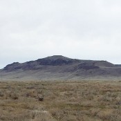
This peak is not in the book. Ken Jones and Livingston Douglas provided the information for this peak. Livingston’s is the most up-to-date information, especially with regards to access. Updated November 2023 Bear Den Butte is the highest point in Minidoka County. It is located in the southwest corner of the Craters of the Moon National Monument. While this butte … Continue reading
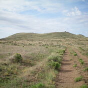
This peak is not in the book. Teapot Dome was a landmark along the Oregon Trail. The peak offers great early-season hiking opportunity. There are great views of the Snake River Plain and Bennett Mountain from the summit. This is fire-prone country in the Summer, so I recommend climbing this peak between mid-February and early May. USGS Teapot Dome To … Continue reading
This peak is not in the book. Peak 6927 sits directly on the Bitterroot Mountains Crest and the Idaho/Montana border. USGS Schley Mountain Dan Saxton provided the following information on the peak: “Peak 6927 is not a significant peak and I don’t have any distinctive photos of it from a distance. It is just off the unmaintained State Line Trail, … Continue reading