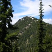
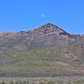
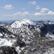
The Schmid Ridge subrange of the Peale Mountains is referenced on Page 367 of the book as the Schmid Range. The Schmid Range name has disappeared from use. This subrange is located east of Soda Springs, Idaho. It is the second ridgeline west of Soda Springs. The range consists of long narrow ridge line in the north which morphs into … Continue reading
Search Results for: a cl
Climbing and access information for this peak is on Page 63 of the book. Please note that the book incorrectly lists the elevation of this peak as 5,708 as does the Sheep Mountain USGS quadrangle. The trails listed in the book for this peak have been abandoned by the Forest Service. Published February 2020 Sheep Mountain is the highest point … Continue reading

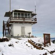
This peak is not in the book. Published February 2020 Little Guard Peak is the southernmost ranked peak in the Shoshone Range. A fire lookout has stood on the summit since 1919. The lookout is now available as a rental through recreation.gov. The Forest Service recounts the history of the lookout as follows: Little Guard Lookout, located about 9 miles … Continue reading

Climbing and access information for this peak is on Page 84 of the book. This entry expands on the information found in the book. Updated August 2021 Bennett Peak is the high point of the Shoshone Range. It is also the 87th most-prominent Idaho summit. USGS Pond Peak Access Coeur D’Alene River Road [(2)(a) on Page 56]. The Coeur D’Alene … Continue reading

The North Hansel Mountain are located between Holbrook, Idaho and the Utah border. This range is not discussed in the book. This low-elevation group of peaks contains 4 unnamed, ranked summits. The North Hansel Mountains High Point (6,986 feet) has 1,646 feet of prominence. The Curlew Valley flanks the range on its west side and the Pocatello Valley (not to … Continue reading

This peak is not in the book. Note that John Platt calls this peak Fitsum Peak in his trip report which is linked below. Published January 2020 This peak is located on the main Lick Creek Range Crest south of North Fitsum Summit. USGS Fitsum Summit Access East Fork Lake Fork Trailhead [(B)(3)(b) on Page 136]. Hike up the East … Continue reading