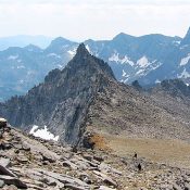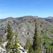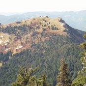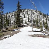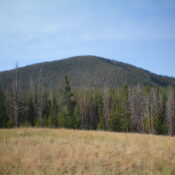
This peak is not in the book. Updated November 2023 Morgan Mountain is a hidden, forested hump on the Continental Divide and the ID/MT border. It is located due south of Big Hole Pass. It is a road hike with a thick bushwhack to the unpretentious summit. USGS Big Hole Pass South Ridge, Class 2 Access This climb begins at … Continue reading
Search Results for: a cl
Climbing and access information for this peak is on Page 320 of the book. Livingston Douglas climbed the south ridge in 2016 and provided the route update. John Platt climbed the south ridge in 2018 and provided additional route information. Updated October 2018 Pyramid Peak lies on the Continental Divide. It was first climbed in 1840 (see Page 13 of … Continue reading
Florians Nudl is a formation on the South Ridge of Goat Mountain. Florians Nudl is named after Florian Haemmerle, one of the first European guides employed by the Sun Valley Company (see Page 18). Although Florian and other guides climbed it before World War II, route information was nonexistent or at least undiscoverable. Finally, we now have route information. Colorado … Continue reading
This peak is not in the book. Peak 7965 is located northeast of Duck Lake and north of Peak 7995/Duck Peak. John Platt ascended the peak’s South Ridge and then descended its Southeast Side. USGS Brundage Mountain Access the East Side of the peak from the Fisher Creek Road [(B)(1.2) on Page 135]. Park southeast of the summit and make … Continue reading
Climbing and access information for this peak is on Page 62 of the book. Larkins Peak anchors the west end of the Mallard Larkins Pioneer Area, which forms the divide between the North Fork Clearwater and the Little North Fork Clearwater Rivers. This divide has a dramatic vertical rise of more than a mile in a short horizontal distance. Larkins … Continue reading
This peak is not in the book. Duck Peak is located north of Slab Butte, east of Goose Lake, and north of Brundage Reservoir. John Platt has climbed this peak twice, once from the Goose Creek/Hazard Lake Road [(B)(1) on Page 134] and once from Fisher Creek Road. USGS Brundage Mountain West Ridge, Class 2 Park roughly one mile … Continue reading