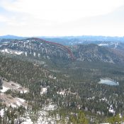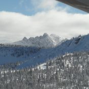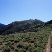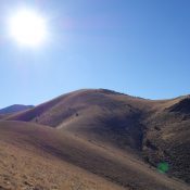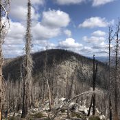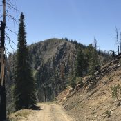
Although Sulphur Peak was mentioned in the book, climbing information for this peak was not provided because at that time the peak was “the site of an active phosphate mine and an ascent of the peak is not recommended.” As you will read below, things have changed. Published November 2018 Sulphur Peak is the monarch of the Sulphur Canyon area. … Continue reading
Book Updates
This peak is not in the book. Published November 2018 Peak 8284 is a beautiful peak located on the west side of the Left-Hand Fork Georgetown Canyon Road. It sits at the head of Shale Creek and has a magnificent east ridge and an equally-impressive southeast ridge. Elk reside here during the winter months as I found a nice shed … Continue reading
This peak is not in the book. Published November 2018 Peak 8967 sits at the head of both the Left Fork and Right Fork of Maple Canyon. It is merely another bump on the open north-to-south ridge crest. It can most easily be reached via either the Left Fork Maple Canyon ATV Trail/FST-524 or the Right Fork Maple Canyon ATV … Continue reading
This peak is not in the book. Published November 2018 Bald Mountain is the largest of the scrub-covered peaks and points on the ridge crest that extends from Rowley Canyon south to Montpelier Canyon. When viewed from US-30, Bald Mountain is a BIG mountain. It is not the highest peak on this ridge (Peak 9420 is over 150 feet higher), … Continue reading
This peak is not in the book. Published November 2018 Peak 7848 sits just above the confluence of the Hawks Roost drainage and the Left-Hand Fork Georgetown Canyon drainage. It is a fun scramble. The peak has a steep, forested west face and a gentler south ridge. Sheep trails abound on this peak. Hopefully, they won’t be up here when … Continue reading
This peak is not in the book. Published November 2018 East Hill sits directly above Georgetown and offers a birds-eye view of the town. The summit has a repeater antenna (+ solar panel) and another antenna; both antennas are at the southwest edge of the tilted summit plateau. That point is where the 7,297-foot elevation was measured (according to the … Continue reading