Peak 7660 by Brett Sergenian

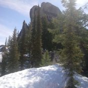
The summit block of Peak 7660. Brett Sergenian Photo

This peak is not in the book. Published May 2019 Peak 7660 is located in the Middle Fork of the Payette River Section of the Salmon River Mountains north of Crouch. Peak 6985 (which appears to be technical) is just to the west. Like many summits in this area, Peak 7660 is capped by a granite dome. USGS Wild Buck … Continue reading
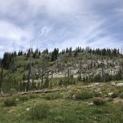
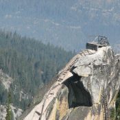
Gold Fork Lookout

The summit dome of Gold Fork Lookout is studded with granite outcrops.

This peak is not in the book. Published May 2019 Gold Fork Lookout is located 11.0 miles northeast of Cascade, Idaho. It is WNW of Warm Lake and W of Gold Fork Rock. A lookout cabin was built on the summit in 1933 after the lookout on Gold Fork Rock was abandoned. The views from the lookout to the south, … Continue reading

Gold Fork Rock

Gold Fork Rock viewed from the air. USFS Photo

This peak is not in the book. Published May 2019 Gold Fork Rock is a former fire lookout site. This impressive peak is located WNW of Warm Lake and north of the Warm Lake Highway. The Forest Service built a series of stairs/ladders to the summit and placed an alidade on top sometime between 1918 and 1920. Living quarters were … Continue reading

Peak 7081

Looking up the peak’s east ridge to tue summit. John Platt Photo

This peak is not in the book. Published May 2019 Peak 7081 is located roughly 4 miles west of Warm Lake and 2 miles north of Warm Lake Highway. John Platt’s trip report is linked below and has more photos and text. USGS Gold Fork Rock Access Follow Warm Lake Highway [(C)(1) on Page 138] to the point shown on … Continue reading

Peak 5416 (Little Rattler)

Little Rattler viewed from the east.

This peak is not in the book. Published May 2019 Peak 5416 is located northwest of Prairie, Idaho. It sits on the divide that separates Little Rattlesnake Creek to the north from Rattlesnake Creek to the south and which culminates on the summit of Rattlesnake Mountain to the east. This out-of-the-way peak is an outstanding early-season destination. This area was … Continue reading

Eagle Rock

Eagle Rock through the trees viewed from the west. John Platt Photo

This formation is not found in the book. Published May 2019 Eagle Rock is a granitic formation located west of Caton Lake on the massive Log Mountain divide. The rock is a former fire lookout site. USGS Teapot Mountain Access Follow South Fork Salmon River Road South to the Camp Creek trailhead [(C)(1.1) on Page 139]. FST-290 leaves the trailhead … Continue reading