Peak 9004

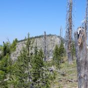
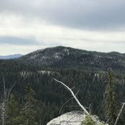
Peak 9004 viewed from the summit of Pinnacles Peak. John Platt Photo

This peak is not in the book. Published August 2019 This peak is located just northwest of Pinnacles Peak on the north side of the Missouri Creek drainage. This peak forms part of the boundary for the Frank Church River of No Return Wilderness. USGS Edwardsburg Access See the Pinnacles Peak page Southwest Ridge, Class 3 Climb from Missouri Creek. … Continue reading
Peak 7260 (Warm Lake Point)

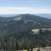
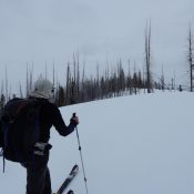
Approaching the summit. John Platt Photo

This peak is not in the book. Published August 2019 Warm Lake Point is located east of the north end of Warm Lake and the Warm Lake Lodge. While few have paid attention to this forested peak, John Platt recognized it as a potential Spring skiing opportunity. John’s trip report is linked below. USGS Warm Lake Access FS-411 and FS-411A … Continue reading

Peak 7978 (Six Bit Peak)

Six Bit viewed from the west.

This peak is not in the book. Published August 2019 Peak 7978 is located north of Big Creek Summit and Warm Lake Highway. Like many Lick Creek Range peaks, the actual summit is formed by a granite boulder which makes the final ascent difficult.  USGS Gold Fork Rock Access There are two ways to access this peak. The first is … Continue reading

Peak 8482 (Whangdoodle Mountain)

Peak 8482. John Platt Photo

This peak is not in the book. Published August 2019 Peak 8482 is located south of Warren, Idaho above Bear Lake and between the Secesch River and the South Fork Salmon River. This area is seldom visited but is well worth the effort. USGS Pony Meadows Access From Warren, Idaho drive southeast on FS-340 for 1.6 miles. Turn left/south on … Continue reading

Northeast Corner Peaks

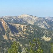
Phelan Mountain viewed from Baldy.

This area is bounded by the main Salmon River in the east and north, Panther Creek in the west, and the road over Morgan Creek Summit in the south. The Salmon River Ridge is the dominant feature in this region which is characterized by high, rolling ridges, thick forests and massive viewpoints. The Salmon River Ridge Road/FS-020 traverses the ridge … Continue reading

Greeley Mountain

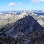
Greeley Mountain.

Climbing and access information for this peak is on Page 120 of the book. Published August 2019 Greeley Mountain is located south of Elk Summit on the ridgeline that runs between that pass and Profile Gap. The route found in the book covers a ridge walk from Elk Summit past Mount Eldridge and Dixie Mountain. This route is roughly 10 … Continue reading