This peak is not in the book. Published April 2018 The highest point in Bingham County does not have a name specifically attached to it. The USGS benchmark on its summit is named “Blackfoot” it is the high point on Blue Ridge. The summit is located on State of Idaho land but is surrounded by private land which makes accessing the … Continue reading
Search Results for: a cl
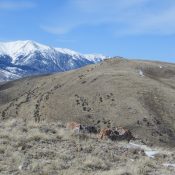
This peak is not in the book. Livingston Douglas provided new route information which is set out below Margo’s entry. Updated December 2019 Southeast and Northeast Ridges by Margo Mandella Peak 7194 is in the Jumpoff Peak subrange of the Lost River Range. Located west of the Idaho National Laboratory and ID-22, Peak 7194 and its peak neighbors (Peak 8383 … Continue reading
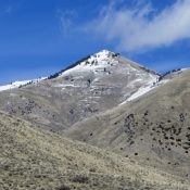
This peak is not in the book. The initial peak description and route is by Margo Mandella. Livingston Douglas added the two new routes set out below Margo’s original post. Updated December 2019 Peak 8383 is an attractive peak in the Jumpoff Peak subrange of the Lost River Range. Located west of the Idaho National Laboratory and due south of … Continue reading
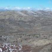
This peak is not in the book. Peak 5562 is located northeast of Jordan Valley, Oregon. The peak can be hiked from Split Rock or from US-95 on its west side. USGS Swisher Mountain … Continue reading
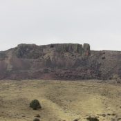
This peak is not in the book. Split Rock only has 165 feet of prominence but it has an impressive West Face that can be seen from US-95 near Jordan Valley, OR. There is a rock tower that is separated from the rest of the West Face that gave Split Rock its name. To reach the trailhead, drive to Jordan … Continue reading
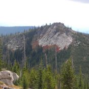
This peak is not in the book. Peak 6966 is the southern summit of Horseshoe Summit. It has 346 feet of prominence. A road leads to the top. Use the Horseshoe Summit page to learn how to ascend this rocky point. USGS Horseshoe Lake … Continue reading