Horseshoe Summit by Mike Hays

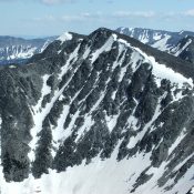
LThe top of Horseshoe Summit. Mike Hays Photo

This peak is not in the book. Please note that this is a twin-summitted peak, separated by a 6,600 foot-saddle and 0.5 miles. Both summits have prominence and both are reached via 4WD roads. The second peak is named Peak 6966. I refer to this peak as Horseshoe Summit which is not its official name. Some sources refer to it … Continue reading
Indian Peak 7728 by Mike Hays

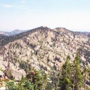
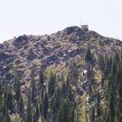
This is the gentle south side of Indian Peak. The ridge running north is basically as high as the high point. The view is from Rocky Peak. July 2007 Mike Hays Photo

Climbing and access information for this peak is on Page 71 of the book. Mike Hays has provided this extensive update to the information found in the book. Indian Peak is the highest point on the divide between Schwar Creek and Buck Lake Creek, two major northern tributaries in the vast Meadow Creek drainage which, after Moose Creek, are the … Continue reading

Heavens Gate by Mike Hays

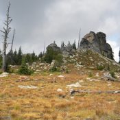
Heavens Gate. Mile Hays Photo

This peak is not in the book. Published March 2018 Heavens Gate is situated on the boundary of the Hells Canyon National Recreation Area and just outside the Hells Canyon Wilderness. The Idaho portion of these two units is located in the Nez Perce National Forest but is managed by the Wallowa-Whitman National Forest. Heavens Gate is not as spectacular … Continue reading

Peak 10042 (Don Moore Peak) by Livingston Douglas

Peak 10042 unofficially named after Don Moore. Michael Darcy Photo

This peak is not in the book.  Peak 10042 is located on the Idaho/Montana border southeast of Ajax Peak. I climbed Ajax Peak first and then climbed Peak 10042.  I ascended Darcy’s Northwest Ridge Route, but descended a new route (the Northeast Ridge Route). USGS Homer Youngs Peak. It was unofficially named “Don Moore Peak” by the late Michael Darcy. … Continue reading

Dryden Peak

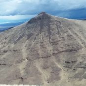
Dryden Peak. Brett Sergenian Photo

This peak is not in the book. Updated April 2018 Dryden Peak is located in the Western Owyhee Mountains north of Piute Butte and due south of Buck Mountain. The ridge it sits on is the second north-south ridge line east of US-95. This peak has an interesting cone-shaped, cliff-ringed summit. USGS Soldier Cap Squaw Creek and its tributaries cut deep canyons on … Continue reading

Piute Butte

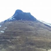
Piute Butte. Brett Sergenian Photo

This peak is not in the book. Updated April 2018 Piute Butte is a rugged peak with an impressive basalt crown. It is located in the Western Owyhee Mountains on the second ridgeline east of US-95. The peak climbs above the east and west forks of Squaw Creek and sits due south of Dryden Peak. It is not an easy summit … Continue reading