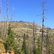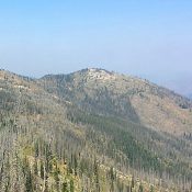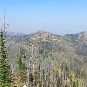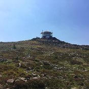
Climbing and access information for this peak is on Page 73 of the book. Updated access information is linked below. Updated August 2017 Salmon Mountain is the tallest summit along the Magruder Corridor. The fire lookout on the summit is staffed during the summer. Views from the summit are nearly endless. The peak has two impressive faces (Northeast and South) … Continue reading
Search Results for: a cl
This peak is not in the book. Peak 7940 is a high point along the Magruder Corridor, which was devastated by fire. The peak sits north of the road between Horse Heaven Saddle and the Salamander Ridge Trailhead. USGS Magruder Mountain Climb Peak 7940 from a point roughly 44.7 miles east of the corridor’s western end. Downed trees form significant, … Continue reading
Climbing and access information for this peak is on Page 73 of the book. Sabe Mountain is located between Burnt Knob and Salmon Mountain on the north side of the Magruder Corridor. Sabe is one of the most prominent summits along the corridor. Its forest were burned off many years ago and are now just starting to return. Sabe Mountain … Continue reading
This peak is not in the book. Dry Saddle Peak sits just above Dry Saddle on the Magruder Corridor Road. Dry Saddle is 32.6 miles from the western end of the Magruder Corridor. The saddle has a pit toilet and a camping area above. The peak is 0.25 miles above the camping area. A granite outcrop forms the highest point. … Continue reading
Climbing and access information for this peak is on Page 83 of the book. White Top Mountain sits northeast of Burnt Peak and due east of Peak 7933/White Top Mountain West. Use Peak 7933’s page to learn about access. Climb the peak from its higher, western neighbor via the connecting ridge. Class 2. USGS Sabe Mountain … Continue reading
This peak is not in the book. Peak 7933 sits northeast of Burnt Knob. The peak is arguably the high point of White Top Mountain. The official name was placed on the lower summit which sits to the east. USGS Sabe Mountain The summit can be reached by FST-539 (Forest Service Map)/FS-502 (trailhead sign), which begins on the north side … Continue reading