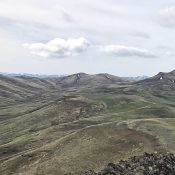
This peak is not in the book. Published May 2018 Peak 6380 sits due east of Squaw Butte. It is located on private property and is inaccessible unless you get permission from the owner. USGS Soldier Cap … Continue reading

This peak is not in the book. Published May 2018 Peak 6380 sits due east of Squaw Butte. It is located on private property and is inaccessible unless you get permission from the owner. USGS Soldier Cap … Continue reading
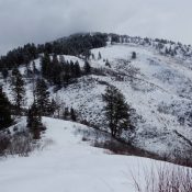
This peak is not in the book. Published April 2018 Slaughterhouse Peak is located in the southwest corner of the Salmon River Mountains. It rises steeply out of the deep South Fork Payette River Canyon. The Deadwood River borders the peak to the east and Big Pine Creek drains the peak’s West Slopes. Slaughterhouse Creek empties the peak’s East Face. … Continue reading
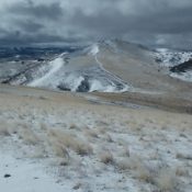
This peak is not in the book. Published April 2018 This peak is located southeast of Squaw Butte. Although a 4WD road leads close to its summit, it would be difficult to do this one as a drive-up since the road conditions are quite rough. USGS Rooster Comb Peak Access To reach this peak, follow Wilson Creek Road to the … Continue reading
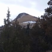
This peak is not in the book. Published April 2018 This distinctive summit is located southeast of Black Mountain and north of Silver City. It is less rugged than its neighbor to the south, Sugar Loaf, but is slightly higher which is likely how it received its name. If your vehicle can make it, Little Sugarloaf is a short hike, … Continue reading
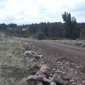
This peak is not in the book. A fire recently burned the summit area. The road is in surprisingly good condition. Updated May 2021 Juniper Mountain is located in the southern Owyhee Mountains about 45 miles southeast of Jordan Valley. Although only 6,820 feet in elevation, Juniper Mountain is large and has several unranked summits. Juniper Mountain is a drive … Continue reading
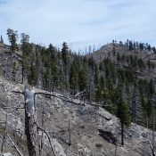
This peak is not in the book. Published April 2018 Peak 5985 is located in the rugged, steep country rising above the West Side of the South Fork Salmon River. It is east of Teapot Mountain. John Platt and John Fadgen climbed the peak in early April 2018. John Platt’s trip report is linked below. USGS Fitsum Peak Access Access … Continue reading