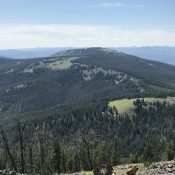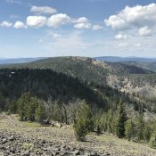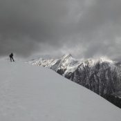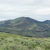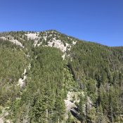
This peak is not in the book. Livingston Douglas added a route up the peak’s northeast face to complement the north ridge route. Updated November 2023 N Mountain is located west of the main Beaverhead Mountains Crest above Fourth of July Creek. A recent forest fire partially burned trees on the north ridge. The views of the Beaverhead Crest are … Continue reading
Search Results for: a cl
This peak is not in the book. Published July 2019 The highest point on Deep Creek Ridge is located southwest of Williams Creek Summit. This peak is almost completely tree-covered. What makes it interesting is that its slopes are crisscrossed by cross-country ski trails that can be reached from Williams Creek Summit even in the dead of Winter. USGS Lake … Continue reading
This peak is not in the book. Livingston Douglas added three photos. Updated November 2023 Phelan Mountain is located between Williams Creek Summit and Baldy on the Salmon River Ridge. It is an attractive peak with huge meadows on its East Slopes. While much of the upper slopes are covered with forest, the summit is a large rocky expanse with … Continue reading
This peak is not in the book. Livingston Douglas added two photos. Updated November 2023 Gutzman Ridge is located northwest of Baldy and southwest of Salmon, Idaho. USGS Leesburg Access See [(H)(1) and (2) on Page 142] updated here. Drive south from Salmon and the junction of US-93/ID-28 on US-93 for 4.9 miles. Turn west, cross the Salmon River, and … Continue reading
This peak is not in the book. Published July 2019 This peak is located due west of Center Mountain and the main Beaverhead Mountains Crest. It is an impressive summit by any measure and towers over an unnamed lake that forms the headwaters of Bohannon Creek. USGS Bohannon Spring Access Geertson Creek [(B)(2)(a) on Page 328]. Please note that the … Continue reading
This peak is not in the book. Published July 2019 This attractive, bulky peak is located southwest of Iron Mountain and the main Soldier Mountains Crest. Deer Mountain forms the southern end of a ridgeline that descends in a southerly direction from Blue Ridge. This ridge is flanked by North Fork Lime Creek in the west and Middle Fork Lime … Continue reading