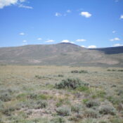
Peak 8791 by Livingston Douglas

This peak is not in the book. I added my GPS track which covers Livingston’s route. Published November 2024 Peak 8791 is located on the east side of Dry Creek and is due west of Buck Springs in the Lost River Range. It is most easily climbed from Dry Creek Road to its north but can also be climbed from … Continue reading
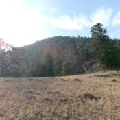
Peak 8992 by Livingston Douglas

This peak is not in the book. Published November 2024 Thanks to LiDAR, Peak 8992 is now a ranked summit. It separates Squaw Creek from Massacre Creek. Peak 8992 is a bump on the northeastern ramparts of massive Massacre Mountain (10,928 feet). USGS Massacre Mountain Access Same as for Peak 8387. This is the second leg of a 3-peak adventure … Continue reading

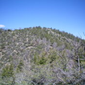
Peak 8604 by Livingston Douglas

This peak is not in the book. Published November 2024 Peak 8604 is a foothill on the north side of the Lost River Range. It sits just south of the Donkey Hills. Peak 8604 is most easily climbed from Long Creek Road at a high saddle to its north. An unmapped 2-track road leads from this saddle almost to the … Continue reading

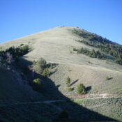
Peak 8467 by Livingston Douglas

This peak is not in the book. Published November 2024 Peak 8467 is located west of Donkey Benchmark and east of Burnt Creek. It is most easily climbed from Donkey Hills Road to its west. This area is a mix of private and public land, so be careful. This climb is entirely on BLM land. USGS Donkey Creek Access From … Continue reading

Peak 8817 by Livingston Douglas

This peak is not in the book. Published November 2024 Peak 8817 sits southwest of Deer Creek Pass and east of the Wet Creek Drainage in the southern Lost River Range. It is most easily climbed via its northeast ridge from Deer Creek Pass if your vehicle can make it up the rugged 2-track road to the pass. USGS Hawley … Continue reading