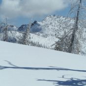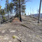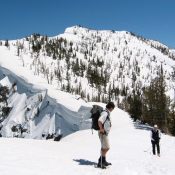
Peak 9290

This peak is not in the book. Peak 9290 sits on a North-South divide that starts on Copper Mountain in the north and runs south to Peak 8916. There are 5 ranked peaks on the divide. ID-21 is on the west side of the divide. All of the peaks can be accessed from the area near Banner Summit. The highway, … Continue reading
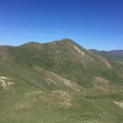
Peak 5913 (Cayuse Peak)

This peak is not in the book. There are two routes set out below. Additionally, this peak can be climbed as part of a three-peak ridge traverse that includes Peak 5913 (Cayuse Peak), Peak 5780 (Mennecke Peak), and Peak 6021 (Teetors Peak) found at this link: Cayuse-Mennecke–Teetors Traverse by Livingston Douglas. Updated November 2019 Peak 5913 is the highest Danskin Mountains … Continue reading

Peak 5580 (Cow Peak)

This peak is not in the book. Additional Danskin Mountains access information is in the book [(D)(1) on Pages 154-155 and (G)(1) on Page 156]. Also see the following website page: Danskin Mountains OHV Trails. Published April 2017 The summit of Peak 5580 offers a lot of viewing enjoyment which can be quickly reached by a short, steep walk. The … Continue reading

Peak 8754 (Goat Creek Peak)

This peak is not in the book. Goat Creek Peak is located above a drainage named Goat Creek. More specifically, this Goat Creek flows west off a high ridge known as the Log Mountain/Deadwood Divide (see Page 117 of the book). Even more to the point, the peak is located on the section of the divide bordering the East Side … Continue reading

Sixmile Ridge, Peak 5891 and Krassel Knob

These peaks are not in the book. I have combined the 3 summits on Sixmile Ridge on this page. The coordinates and map below are centered on the summit of Sixmile Ridge which is the highest point on the ridge.  Sixmile Ridge parallels the South Fork Salmon River between Warm Lake and the junction of the South Fork and the … Continue reading

Dead Horse Summit

Climbing and access information for this peak is on Pages 326-327 of the book. Dead Horse Summit is a large mountain located west of the main Beaverhead Mountains Crest. Three drainages (Indian Head Canyon, Cliff Creek, Mahogany Gulch) drop to the west from this peak’s broad summit. The book covers Rick Baugher’s ascent via Mahogany Gulch. More recently, Bob Bolton … Continue reading