Peak 9109

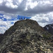
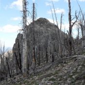
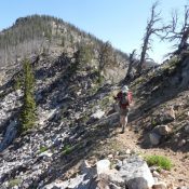
This peak is not in the book. Peak 9109 is located along the Big Baldy Ridge in the Frank Church River of No Return Wilderness. The trail to Big Baldy passes right below its summit. Scramble to the top from the trail. John Platt and Dave Pahlas recently climbed it. Use the links below to see their trip reports. Class … Continue reading
Pistol Rock

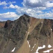
Climbing and access information for this peak is on Page 117 of the book. Pistol Rock is located northeast of Chilcoot Peak in the Frank Church River of No Return Wilderness. The peak has a [lower] South Summit identified as Trapper Mountain. Use the links below for John Platt’s and Dave Pahlas’ 2016 trip reports which recount more recent conditions … Continue reading

Chilcoot Peak

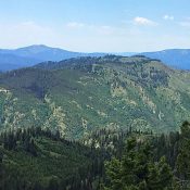
Access and climbing information for this peak is on Page 118 of the book. Chilcoot Peak is located on the western edge of the Frank Church River of No Return Wilderness. A fire lookout was placed on the summit in 1933. However, the lookout was destroyed in 1969. This area is seldom visited by peakbaggers. A 2016 ascent of the … Continue reading

Peak 10500 (Senate Peak)

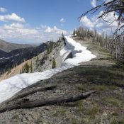
This peak is not in the book. Senate PeakĀ is located northwest of Galena Peak on the main Boulder Mountains Crest, which is located within the Sawtooth National Recreation Area of the Sawtooth National Forest. The peak can be climbed by either a long, arching ridge walk or by a steep, direct ascent up the drainage. Both routes begin at the … Continue reading

Peak 10835

This peak is not in the book. Peak 10835 is a seldom-visited Boulder Mountain located north of Galena Peak in the Sawtooth National Recreation Area of the Sawtooth National Forest. USGS Galena Peak Access The shortest access to the peak is from ID-75 and Senate Creek [(A)(3) on Page 240]. Northwest Ridge, Class 3/Class 4 Summit Block This route involves … Continue reading

Archie Mountain

Archie Mountain from Jackson Peak.

This peak is not in the book. Archie Mountain is located ESE of Lowman, Idaho. The mountain has three broad, rounded summits, covered by a mix of forest and meadow. The middle summit is the high point. The peak rises abruptly for over 3,500 feet out of the South Fork Payette River Canyon. Although there are trees on the summit, … Continue reading