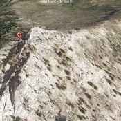
This peak is not in the book. Peace Rock sits west of Deadwood Reservoir. I know little about this peak other than what I can see in the Google Earth image below and learn from the maps. USGS Deadwood Reservoir … Continue reading

This peak is not in the book. Peace Rock sits west of Deadwood Reservoir. I know little about this peak other than what I can see in the Google Earth image below and learn from the maps. USGS Deadwood Reservoir … Continue reading
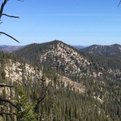
This peak is not in the book. The Payette River forms the southern boundary of the Western Salmon River Mountains. The mountains north of the river climb steeply out of the river’s canyon and form a series of complicated ridges and deep drainages. The ridges reach over 8,000 feet in the area around Scott Mountain. While the area around Scott … Continue reading
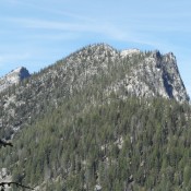
This peak is not in the book. Updated October 2018 Peak 8409 is the easternmost peak on the impressive East-West ridge line that parallels Lick Creek and Lick Creek Road. The ridge has 6 ranked summits and sufficient exposed granite to challenge the most ambitious mountaineers. The West End of the ridge is anchored by Humdinger Peak and the East … Continue reading
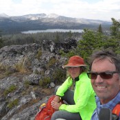
This peak is not in the book. Granite Lake Point sits just south of Granite Peak. Reaching the summit involves a brushy climb of 500 vertical feet. Click on the link below for John Platt’s trip report to learn the details. USGS Granite Lake … Continue reading
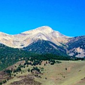
Climbing and access information for this peak is on Page 304 of the book. This page has (1) updated route information for the south ridge and (2) Livingston Douglas’ southwest ridge route. In addition to these updates, use the following links for additional information on (1) the Miskin-Steadman north face route page and (2) The Spring Mountain Canyon page for … Continue reading
Climbing and access information for this peak is on Page 60 of the book. Widow Mountain is reached from the same trailhead as for Lookout Mountain. See the trip report linked below from the excellent Hiking From Here website. Current information on accessing Widow Mountain is found in the report’s Connection section. USGS Widow Mountain … Continue reading