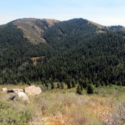
Peak 8028 (Buissons Peak)

This peak is not in the book. Buissons Peak is located northeast of Black Tip Mountain in the Lick Creek Range. It is east of French Creek and west of Warren Wagon Road. John Platt climbed the peak from the east using FS-260, which leads from Warren Wagon Road to Squaw Meadows. From the road’s end, he recorded 5.5 miles … Continue reading
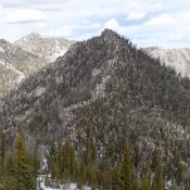
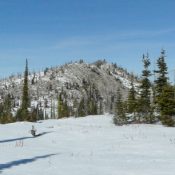
Peak 8731 (Rainbow Peak)

This peak is not in the book. Rainbow Peak, named after nearby Rainbow Lakes, sits on the main Lick Creek Range Crest east of Payette Lake. John Platt climbed the peak in conjunction with Bearpaw Peak in a long day covering nearly 20 miles with 4,000 feet of elevation gain. None of the peaks in this central section of the … Continue reading

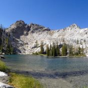
Peak 8571 (Bearpaw Peak)

This peak is not in the book. Bearpaw Peak is located on the main Lick Creek Range Crest, east of Little Payette Lake. It is a remote summit and climbing the peak requires a long, strenuous day. Use the link below to read John Platt’s trip report of his marathon day climb of this peak and its neighbor, Rainbow Peak. Class … Continue reading

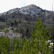
Peak 8213 (Yockwah Peak)

Yockwah Peak. John Platt Photo

This peak is not in the book. Updated January 2020 Yockwah Peak is located just west of Box Lake. USGS Box Lake Access Box Lake Trail [(B)(3)(a) on Page 136] Southeast Ridge, Class 2 The trail to the lake gets you to within striking distance of the summit. Leave the trail at approximately 7,100 feet and climb northwest, aiming for … Continue reading

Peak 8605 (Wanderlost Peak)

This peak is not in the book. Wanderlost Peak is located north of Lick Creek Summit and Hum Lake. If you are wondering about the origin of the unofficial name, take a look at John Platt’s map below and then read the account of his ascent (link below). This peak is clearly in the middle of nowhere. USGS Box Lake … Continue reading